Rondo Neighborhood, Saint Paul

Map
Facts and practical information
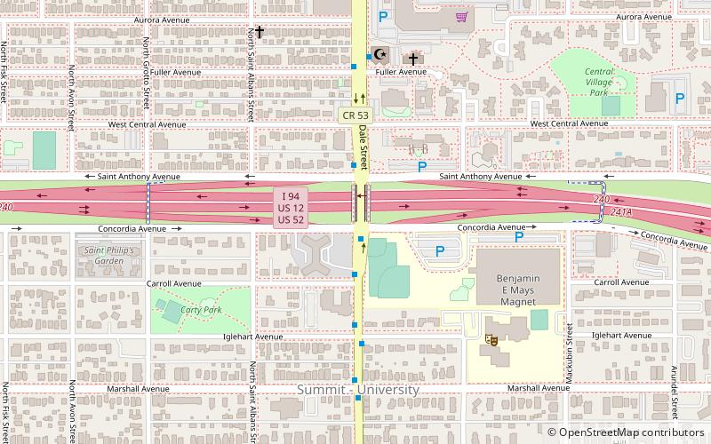
St. Paul's Rondo Neighborhood was the center of the black community in the Twin Cities for much of the 20th century. The Rondo neighborhood consisted of a working-class community, supported by social clubs, religious organizations, community centers and a thriving business community. It was demolished between 1956 and 1968, to make way for the construction of the I-94 freeway. Over 500 families were displaced from the neighborhood, as well as many businesses and community locations. ()
Coordinates: 44°57'5"N, 93°7'35"W
Address
Summit - UniversitySaint Paul
ContactAdd
Social media
Add
Day trips
Rondo Neighborhood – popular in the area (distance from the attraction)
Nearby attractions include: James J. Hill House, Xcel Energy Center, Cathedral of Saint Paul, Unidale Mall.
Frequently Asked Questions (FAQ)
Which popular attractions are close to Rondo Neighborhood?
Nearby attractions include Pilgrim Baptist Church, Saint Paul (7 min walk), Woodland Park District, Saint Paul (8 min walk), Church of St. Agnes, Saint Paul (16 min walk), F. Scott Fitzgerald House, Saint Paul (18 min walk).
How to get to Rondo Neighborhood by public transport?
The nearest stations to Rondo Neighborhood:
Light rail
Bus
Light rail
- Dale Street • Lines: 902 (8 min walk)
- Victoria Street • Lines: 902 (15 min walk)
Bus
- Dale St • Lines: 67, 67A, 67C (15 min walk)
- Kent St • Lines: 67, 67A, 67C (15 min walk)


