Bellingham Square Historic District, Boston
Map

Gallery

Facts and practical information
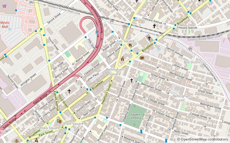
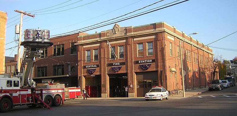
Bellingham Square Historic District is a historic district encompassing the civic and commercial heart of Chelsea, Massachusetts. Roughly bounded by Broadway, Shawmut, Chestnut, and Shurtleff Streets, the district was almost entirely built in the aftermath of the Great Chelsea Fire of 1908, and is a monument to the civic planning that took place at the time. The district was added to the National Register of Historic Places in 1985. ()
Coordinates: 42°23'34"N, 71°2'3"W
Address
Chelsea (Belingham Square)Boston
ContactAdd
Social media
Add
Day trips
Bellingham Square Historic District – popular in the area (distance from the attraction)
Nearby attractions include: Constitution Beach, Day Square, Revere City Hall and Police Station, Congregation Agudath Shalom.
Frequently Asked Questions (FAQ)
Which popular attractions are close to Bellingham Square Historic District?
Nearby attractions include Chelsea, Boston (3 min walk), Congregation Agudath Shalom, Boston (5 min walk), Chelsea Garden Cemetery, Boston (5 min walk), St. Stanislaus Bishop & Martyr's Parish, Boston (5 min walk).
How to get to Bellingham Square Historic District by public transport?
The nearest stations to Bellingham Square Historic District:
Train
Metro
Train
- Chelsea station (14 min walk)
Metro
- Wood Island • Lines: Blue (28 min walk)

 MBTA Subway


