Tiffany Castle, Kansas City
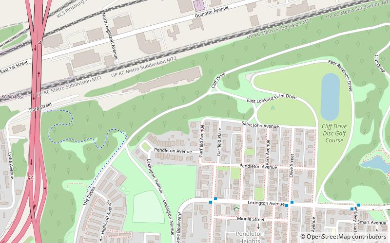
Map
Map

Facts and practical information
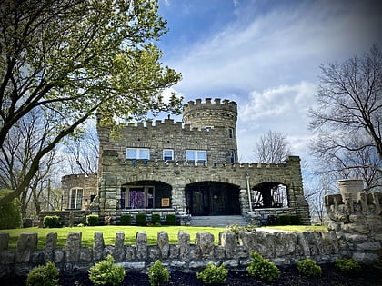
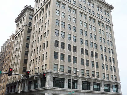
Tiffany Castle is a landmark home in the historic Pendleton Heights neighborhood in Kansas City, Jackson County, Missouri, United States. It was built in 1909 as the home of Flavel B. Tiffany, who later founded the Tiffany Springs neighborhood of Kansas City. The Tudor architecture castle sits on the bluffs overlooking the East Bottoms and the Missouri River below, and can be seen for miles. ()
Coordinates: 39°6'50"N, 94°33'28"W
Address
Northeast Kansas City (Pendleton Heights)Kansas City
ContactAdd
Social media
Add
Day trips
Tiffany Castle – popular in the area (distance from the attraction)
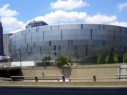
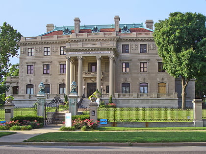
Nearby attractions include: T-Mobile Center, City Museum, Kansas City City Hall, Bally's.
Frequently Asked Questions (FAQ)
Which popular attractions are close to Tiffany Castle?
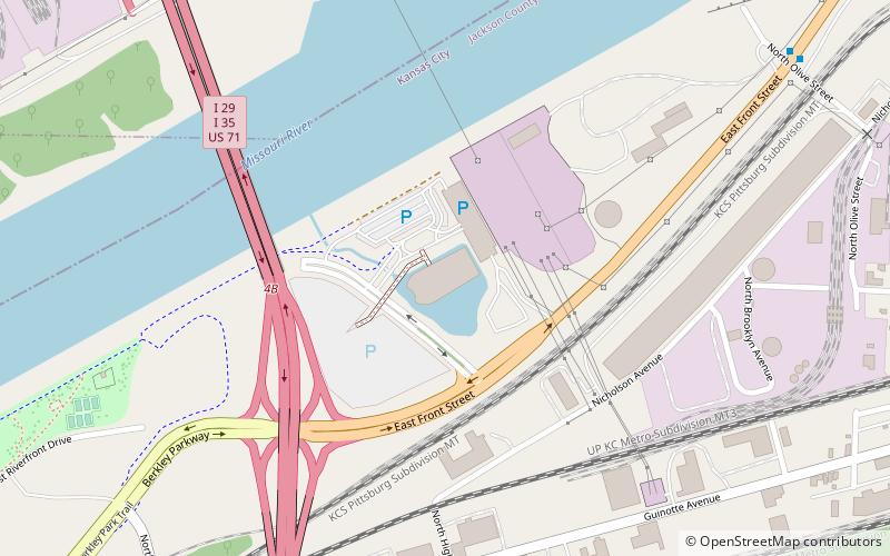
Nearby attractions include Bally's, Kansas City (14 min walk), Casino KC, Kansas City (14 min walk), Knuckleheads Saloon, Kansas City (17 min walk), Christopher S. Bond Bridge, Kansas City (20 min walk).
How to get to Tiffany Castle by public transport?
The nearest stations to Tiffany Castle:
Bus
Bus
- Lexington at Garfield • Lines: 11 (5 min walk)
- Woodland at Missouri • Lines: 11 (9 min walk)
