Center City East, Philadelphia
Map

Gallery

Facts and practical information
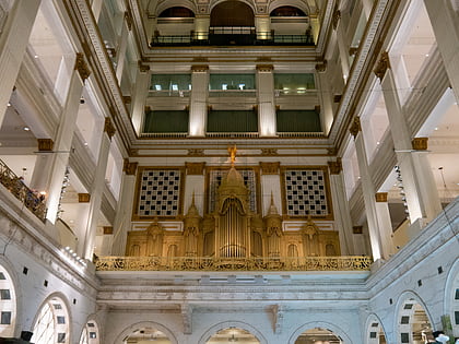
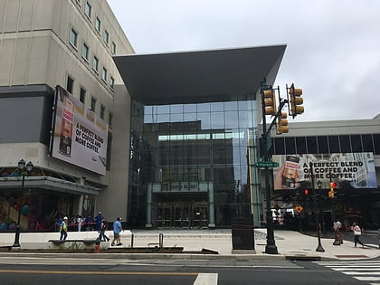
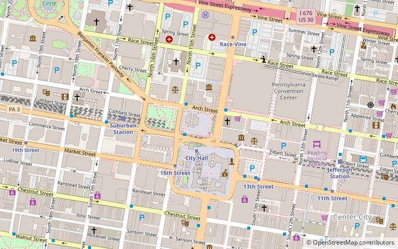
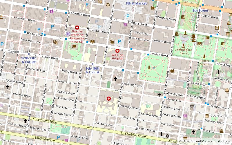
Center City East is part of the downtown district known as Center City, Philadelphia, Pennsylvania, United States. The area is generally bounded by Arch Street to the north, Chestnut Street to the south, Juniper Street to the west, and 6th Street to the east. The area serves as one of the major retail centers in the city as well as the home of the Pennsylvania Convention Center. ()
Coordinates: 39°57'9"N, 75°9'29"W
Address
Center City (Center City East)Philadelphia
ContactAdd
Social media
Add
Day trips
Center City East – popular in the area (distance from the attraction)
Nearby attractions include: Macy's, Reading Terminal Market, City Hall, The Gallery.
Frequently Asked Questions (FAQ)
Which popular attractions are close to Center City East?
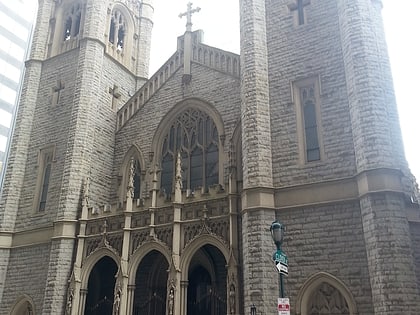
Nearby attractions include Reading Terminal Market, Philadelphia (2 min walk), East Center City Commercial Historic District, Philadelphia (3 min walk), Arch Street Theatre, Philadelphia (4 min walk), St. Stephen's Episcopal Church, Philadelphia (4 min walk).
How to get to Center City East by public transport?
The nearest stations to Center City East:
Train
Metro
Bus
Tram
Train
- Jefferson Station (1 min walk)
- Suburban Station (13 min walk)
Metro
- 11th Street • Lines: Mfl (2 min walk)
- 13th Street • Lines: Mfl (5 min walk)
Bus
- Greyhound Terminal (2 min walk)
- Chestnut St & 12th St • Lines: 23, 9 (5 min walk)
Tram
- 13th Street • Lines: 10, 11, 13, 34, 36 (6 min walk)
- 15th Street • Lines: 10, 11, 13, 34, 36 (10 min walk)

 SEPTA Regional Rail