Victorian Flatbush, Sea Gate
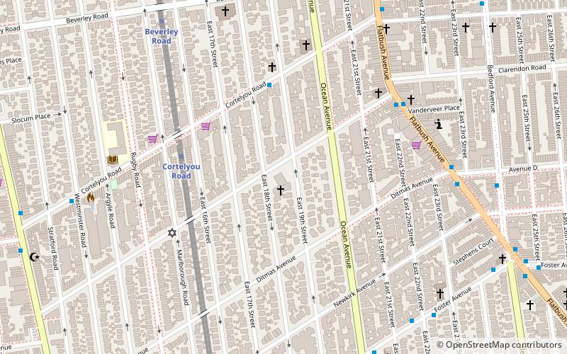
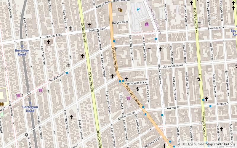
Map

Map

Facts and practical information
Coordinates: 40°38'26"N, 73°57'39"W
Address
Central Brooklyn (Flatbush)Sea Gate
ContactAdd
Social media
Add
Day trips
Victorian Flatbush – popular in the area (distance from the attraction)
Nearby attractions include: Flatbush Malls, Nostrand Playground, Flatbush Town Hall, Young Israel of Flatbush.
Frequently Asked Questions (FAQ)
Which popular attractions are close to Victorian Flatbush?
Nearby attractions include East River State Park, New York City (4 min walk), Flatbush Avenue, Sea Gate (6 min walk), Beverley Squares, Sea Gate (7 min walk), Ditmas Park, New York City (7 min walk).
How to get to Victorian Flatbush by public transport?
The nearest stations to Victorian Flatbush:
Metro
Metro
- Cortelyou Road • Lines: Q (5 min walk)
- Beverley Road • Lines: Q (9 min walk)


