Southwark School, Philadelphia
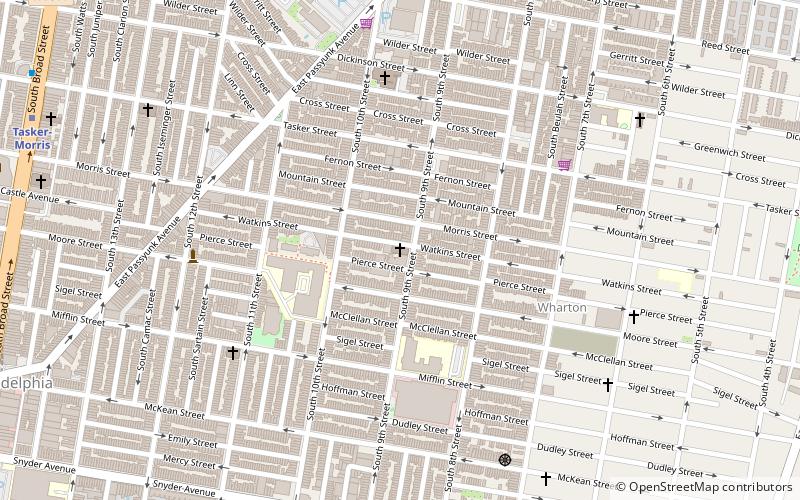
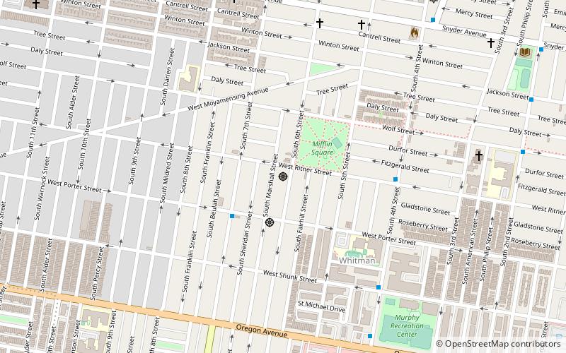
Map
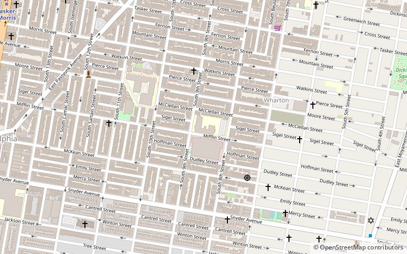
Map

Facts and practical information
Southwark School is a public K-8 school located in the Central South Philadelphia neighborhood of Philadelphia, Pennsylvania. It is a part of Philadelphia Public Schools. ()
Coordinates: 39°55'33"N, 75°9'37"W
Address
South Philadelphia (East Passyunk Crossing)Philadelphia
ContactAdd
Social media
Add
Day trips
Southwark School – popular in the area (distance from the attraction)
Nearby attractions include: St Nicholas of Tolentine, Preah Buddha Rangsey Temple, Fleisher Art Memorial, Baptist Institute for Christian Workers.
Frequently Asked Questions (FAQ)
Which popular attractions are close to Southwark School?
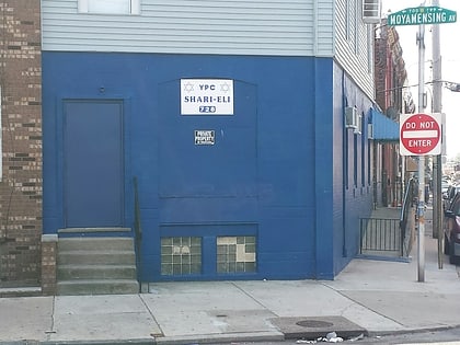
Nearby attractions include St Nicholas of Tolentine, Philadelphia (4 min walk), South Philadelphia Shtiebel, Philadelphia (9 min walk), Eliza Butler Kirkbride School, Philadelphia (9 min walk), YPC Shari-Eli, Philadelphia (10 min walk).
How to get to Southwark School by public transport?
The nearest stations to Southwark School:
Metro
Bus
Metro
- Tasker-Morris • Lines: Bsl (14 min walk)
- Snyder • Lines: Bsl (14 min walk)
Bus
- 21331 • Lines: 17 (24 min walk)

 SEPTA Regional Rail