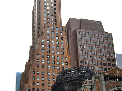
54th Street, New York City
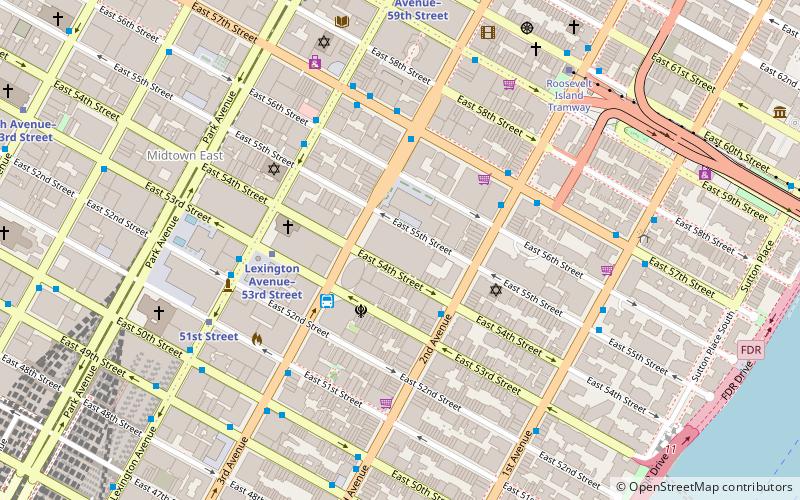
Map
Facts and practical information
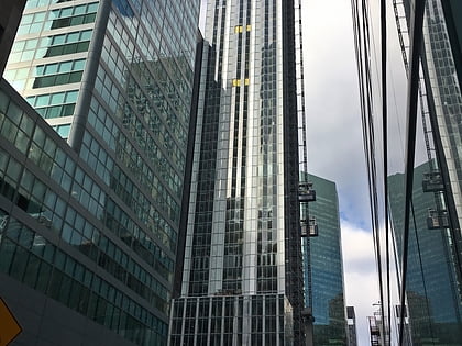
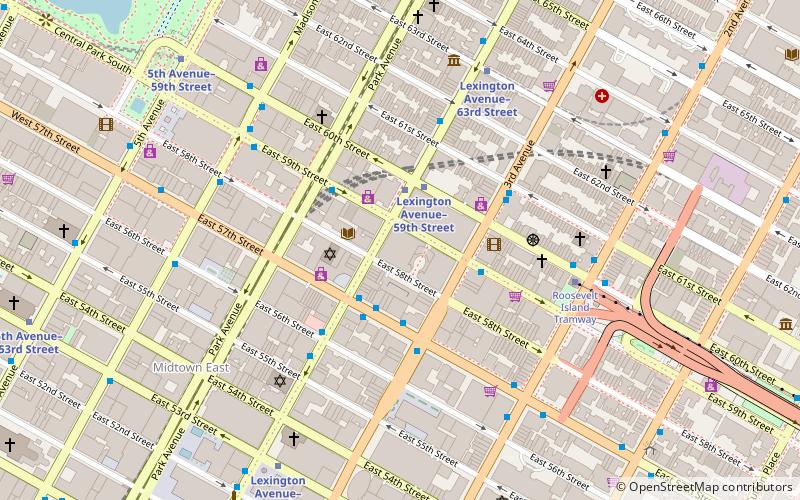
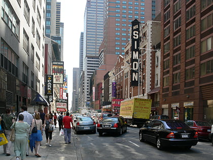
54th Street is a two-mile-long, one-way street traveling west to east across Midtown Manhattan. ()
Coordinates: 40°45'30"N, 73°58'4"W
Address
Midtown Manhattan (Midtown East)New York City
ContactAdd
Social media
Add
Day trips
54th Street – popular in the area (distance from the attraction)
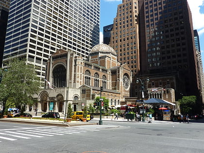
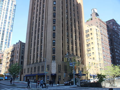
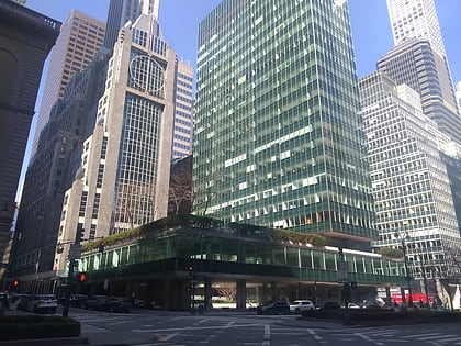
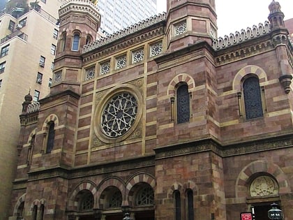
Nearby attractions include: St. Bartholomew's Episcopal Church, Beekman Tower, Lever House, Central Synagogue.
Frequently Asked Questions (FAQ)
Which popular attractions are close to 54th Street?
Nearby attractions include 919 Third Avenue, New York City (2 min walk), 100 East 53rd Street, New York City (3 min walk), Citigroup Center, New York City (3 min walk), York Theatre, New York City (4 min walk).
How to get to 54th Street by public transport?
The nearest stations to 54th Street:
Bus
Metro
Train
Bus
- 2 Av/E 54 St • Lines: M15 (3 min walk)
- bus m101 (3 min walk)
Metro
- 53rd Street–Lexington Avenue • Lines: E, M (3 min walk)
- 51st Street • Lines: <6>, 4, 6 (6 min walk)
Train
- Grand Central Terminal (16 min walk)
- Long Island City (33 min walk)
 Subway
 Manhattan Buses