Ballston, Arlington

Map
Facts and practical information
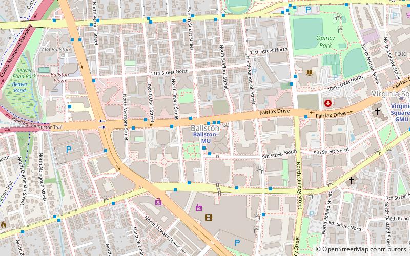
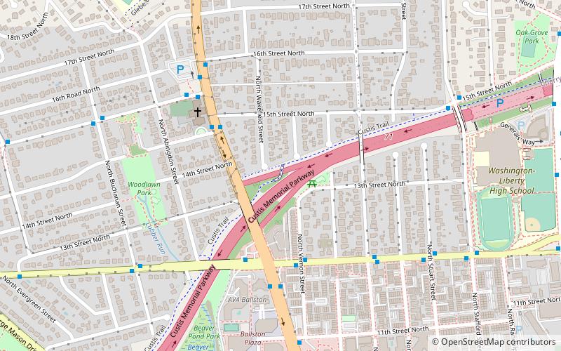
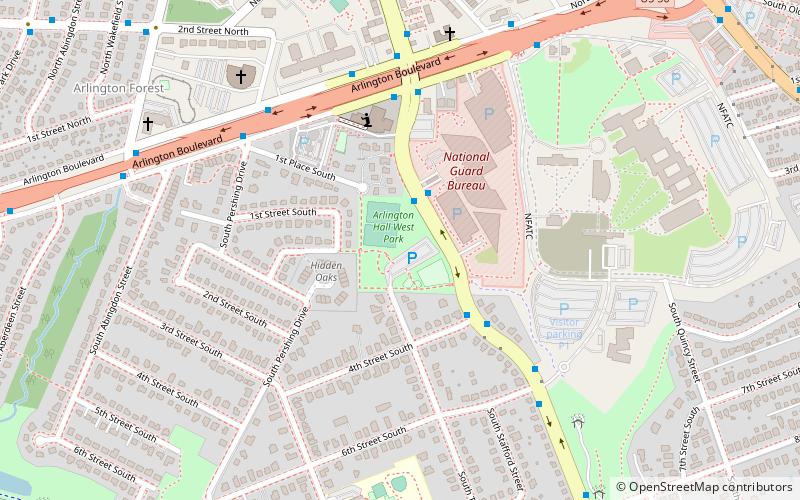
Ballston is a neighborhood in Arlington County, Virginia. Located at the western end of the Rosslyn-Ballston corridor, Ballston is a major transportation hub, and boasts one of the nation's highest concentrations of scientific research agencies, including the Office of Naval Research, the Virginia Tech Advanced Research Institute, and the Air Force Office of Scientific Research. ()
Coordinates: 38°52'55"N, 77°6'42"W
Address
North Arlington (Ballston - Virginia Square)Arlington
ContactAdd
Social media
Add
Day trips
Ballston – popular in the area (distance from the attraction)
Nearby attractions include: Kettler Capitals Iceplex, Ballston Common Mall, Bluemont Junction Trail, Custis Trail.
Frequently Asked Questions (FAQ)
Which popular attractions are close to Ballston?
Nearby attractions include Virginia Square, Arlington (6 min walk), First Presbyterian Church, Arlington (9 min walk), Cherrydale Volunteer Fire House, Arlington (11 min walk), Monroe Courts Historic District, Arlington (12 min walk).
How to get to Ballston by public transport?
The nearest stations to Ballston:
Metro
Bus
Metro
- Ballston–MU • Lines: Or, Sv (1 min walk)
- Virginia Square–GMU • Lines: Or, Sv (12 min walk)
Bus
- Temporary Stop 1 • Lines: Art 51 (1 min walk)
- Ballston Metro • Lines: 10B, 1A, 1B, 22A, 23A, 23B, 23T, 25B, 2A, 72 (1 min walk)


