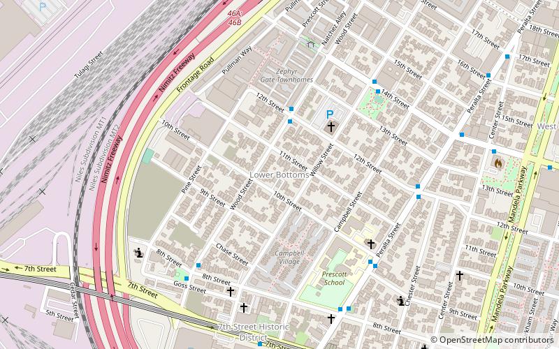
Village Bottoms, Oakland
Map
Facts and practical information
The Village Bottoms is a historic cultural district in the predominantly Black neighborhood of West Oakland, California. Its current revitalization and cultural arts renaissance is being catalyzed by artist/cultural worker Marcel Diallo and a neighborhood of young, black artists including Githinji wa Mbire, Eesuu Orundide, letitia ntofon, and rappers Boots Riley of The Coup, Zumbi of Zion I and Adimu Madyun of rap group Hairdooo. ()
Coordinates: 37°48'38"N, 122°17'58"W
Address
West Oakland (Prescott)Oakland
ContactAdd
Social media
Add
Getting there by public transportation
Public transportation stops near this location
- Metro
- Bus
- Ferry
 Metro
Metro
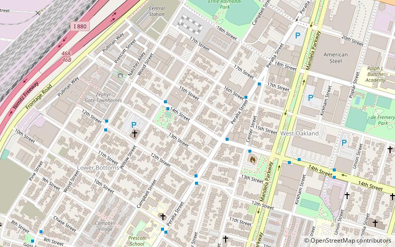
- Calculate routeWood Street & 12th Street 3 min walk
- Calculate routePeralta Street & 10th Street 6 min walk
- Calculate route14th Street & Willow Street 6 min walk
- Calculate routeWest Oakland 12 min walk
- Calculate routeOakland Jack London Square Terminal 39 min walk
Day trips


Frequently Asked Questions (FAQ)
Which popular attractions are close to Village Bottoms?
Nearby attractions include Campbell Village Court, Oakland (4 min walk), Campbell Village, Oakland (4 min walk), West Oakland, Oakland (7 min walk), Oakland Point, Oakland (9 min walk).
How to get to Village Bottoms by public transport?
The nearest stations to Village Bottoms:
Bus
Metro
Ferry
Bus
- Wood Street & 12th Street • Lines: 14 (3 min walk)
- Peralta Street & 10th Street • Lines: 29 (6 min walk)
Metro
- West Oakland • Lines: Blue, Green, Red, Yellow (12 min walk)
Ferry
- Oakland Jack London Square Terminal • Lines: San Francisco Bay Ferry (39 min walk)