Judge John Sutter Regional Shoreline, Oakland
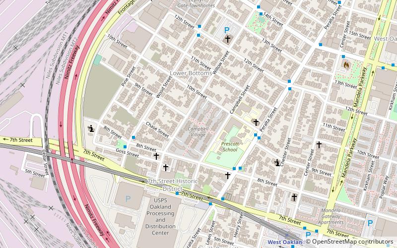
Map
Facts and practical information
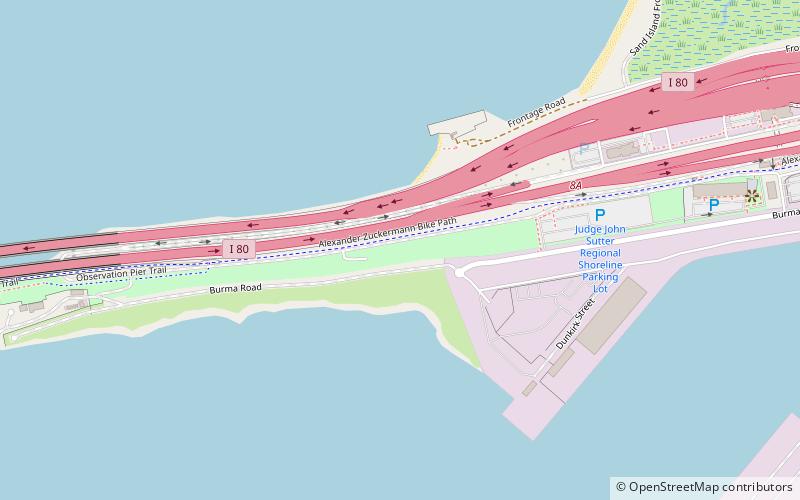
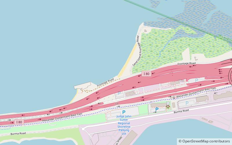
Judge John Sutter Regional Shoreline is a park located in Oakland, California along the shore of San Francisco Bay at the foot of the San Francisco-Oakland Bay Bridge. It is part of the East Bay Regional Parks District. The park opened on October 21, 2020. ()
Elevation: 7 ft a.s.l.Coordinates: 37°49'19"N, 122°19'18"W
Getting there by public transportation
Public transportation stops near this location
- Bus
 Bus
Bus
- Calculate routeEmeryville Marina 30 min walk
- Calculate routeWood Street & 8th Street 37 min walk
- Calculate routeWatergate Market 38 min walk
Day trips


Frequently Asked Questions (FAQ)
How to get to Judge John Sutter Regional Shoreline by public transport?
The nearest stations to Judge John Sutter Regional Shoreline:
Bus
Bus
- Emeryville Marina • Lines: Sp, Ss, We (30 min walk)
- Wood Street & 8th Street • Lines: 14 (37 min walk)