Old Cambridgeport Historic District, Boston
Map
Map

Facts and practical information
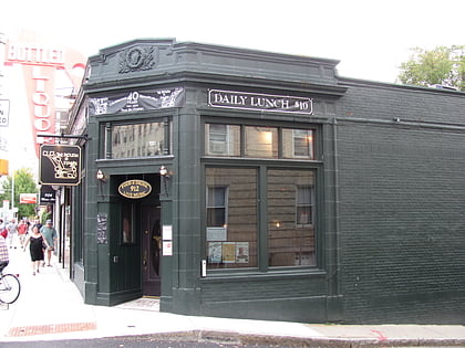
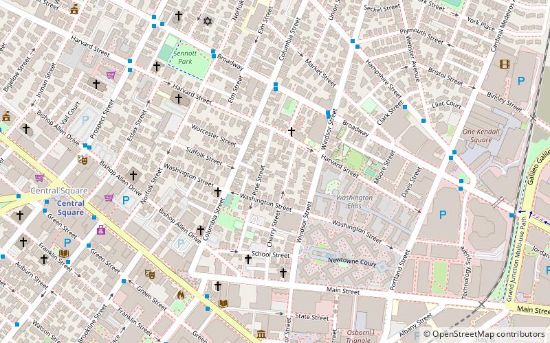
The Old Cambridgeport Historic District is a historic district along Cherry, Harvard and Washington Streets in Cambridge, Massachusetts. It contains some of the oldest surviving houses north of Massachusetts Avenue in the Cambridgeport section of the city. It includes the entire block of Cherry Street between Harvard and Washington Streets, as well as a few buildings on those two streets. The oldest houses are the Samuel Fay House and the Margaret Fuller House. ()
Coordinates: 42°21'57"N, 71°5'50"W
Address
Cambridge (The Port)Boston
ContactAdd
Social media
Add
Day trips
Old Cambridgeport Historic District – popular in the area (distance from the attraction)
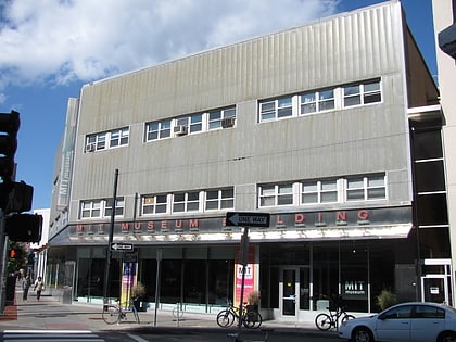
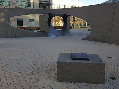
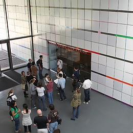
Nearby attractions include: Charles River Esplanade, Stata Center, MIT Museum, Christ the King Presbyterian Church.
Frequently Asked Questions (FAQ)
Which popular attractions are close to Old Cambridgeport Historic District?
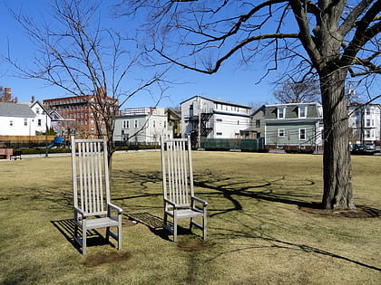
Nearby attractions include The Port, Boston (3 min walk), Greene-Rose Heritage Park, Boston (4 min walk), George Close Company Building, Boston (4 min walk), Norfolk Street Historic District, Boston (6 min walk).
How to get to Old Cambridgeport Historic District by public transport?
The nearest stations to Old Cambridgeport Historic District:
Bus
Metro
Light rail
Bus
- Massachusetts Ave @ Sidney St • Lines: 1, Ct1 (6 min walk)
- Prospect St @ Harvard St • Lines: 91 (8 min walk)
Metro
- Central Square • Lines: Red (9 min walk)
- Kendall/MIT • Lines: Red (17 min walk)
Light rail
- Blandford Street • Lines: B (30 min walk)
- Kenmore • Lines: B, C, D (30 min walk)

 MBTA Subway

