Pawtucket River Bridge, Pawtucket
Map
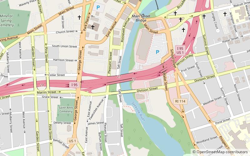
Map

Facts and practical information
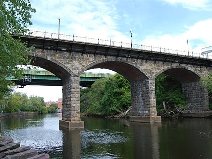
The Pawtucket River Bridge is a twin span, six-lane highway bridge that carries Interstate 95 over the Seekonk River in Pawtucket, Rhode Island. The original bridge was built in 1958 and rehabilitated in 1996. The bridge was demolished in 2012-13 and replaced with a new deck arch bridge that was completed in summer 2013. In November 2016, the bridge was officially renamed the James E. Doyle Pawtucket River Bridge in memory of the former mayor of Pawtucket, who died two months earlier. ()
Coordinates: 41°52'24"N, 71°23'4"W
Address
Quality HillPawtucket
ContactAdd
Social media
Add
Day trips
Pawtucket River Bridge – popular in the area (distance from the attraction)
Nearby attractions include: McCoy Stadium, Pawtucket Falls, Slater Mill Historic Site, Pawtucket Congregational Church.
Frequently Asked Questions (FAQ)
Which popular attractions are close to Pawtucket River Bridge?
Nearby attractions include Division Street Bridge, Pawtucket (2 min walk), Saint Paul's Church, Pawtucket (6 min walk), Main Street Bridge, Pawtucket (6 min walk), St. Mary's Church of the Immaculate Conception Complex, Pawtucket (8 min walk).


