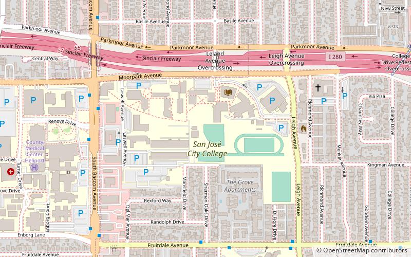
West San Jose, San Jose
Map
Gallery
Facts and practical information
West San Jose is the western region of San Jose, California. The area of West San Jose is bounded on the north by the city of Santa Clara, on the east by San Tomas Expressway, on the south by Prospect Road, and on the west by De Anza Boulevard. The eastern boundary of San Jose City Council District 1 is at State Route 17. ()
Coordinates: 37°18'46"N, 121°58'35"W
Address
West Valley (Blackford)San Jose
ContactAdd
Social media
Add
Day trips
West San Jose – popular in the area (distance from the attraction)
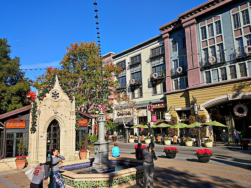
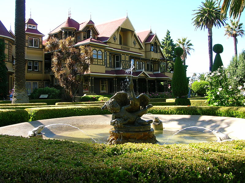
Nearby attractions include: Santana Row, Winchester Mystery House, Westfield Valley Fair, PruneYard Shopping Center.
Frequently Asked Questions (FAQ)
How to get to West San Jose by public transport?
The nearest stations to West San Jose:
Bus
Bus
- Saratoga Avenue & Manzanita Drive • Lines: 57 (3 min walk)


