Newton Upper Falls, Newton
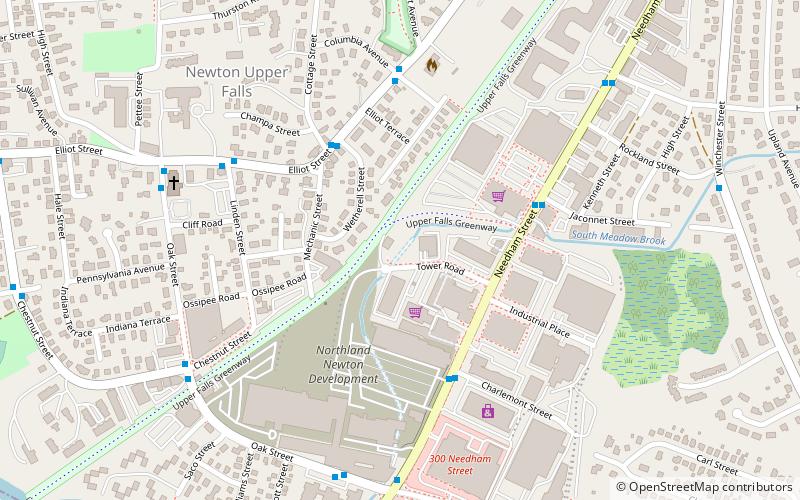
Map

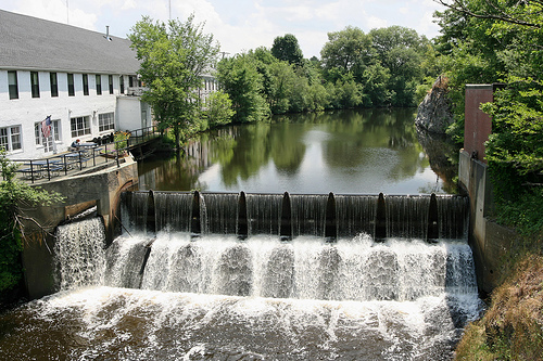
Gallery

Facts and practical information
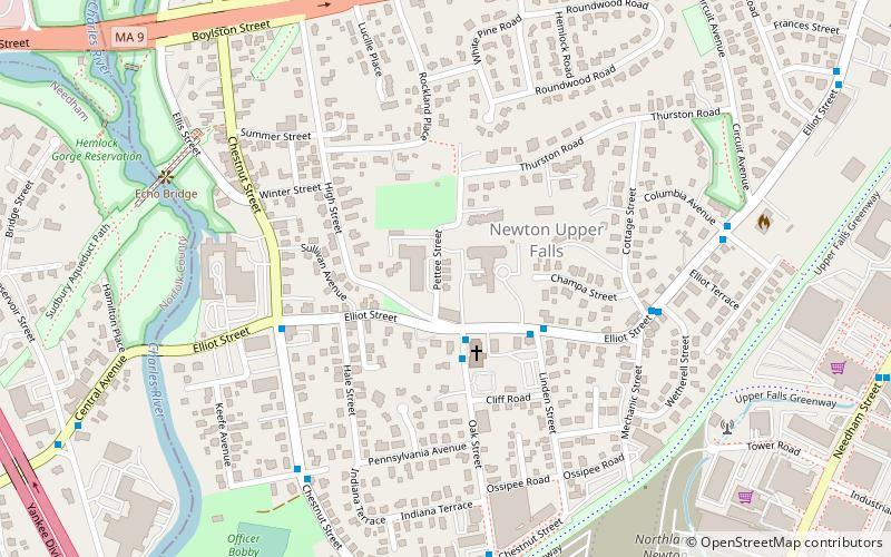
Newton Upper Falls is one of the thirteen villages within the city of Newton in Middlesex County, Massachusetts, United States. ()
Coordinates: 42°18'48"N, 71°13'17"W
Address
Newton (Newton Upper Falls)Newton
ContactAdd
Social media
Add
Day trips
Newton Upper Falls – popular in the area (distance from the attraction)
Nearby attractions include: Hemlock Gorge Reservation, Echo Bridge, Saco–Pettee Machine Shops, Needham Street Bridge.
Frequently Asked Questions (FAQ)
Which popular attractions are close to Newton Upper Falls?
Nearby attractions include Mary Immaculate of Lourdes Church, Newton (2 min walk), Hemlock Gorge Reservation, Newton (7 min walk), Echo Bridge, Newton (8 min walk), WHDH-TV tower, Newton (9 min walk).
How to get to Newton Upper Falls by public transport?
The nearest stations to Newton Upper Falls:
Light rail
Light rail
- Eliot • Lines: D (12 min walk)
- Waban • Lines: D (25 min walk)


