Americas Society, New York City
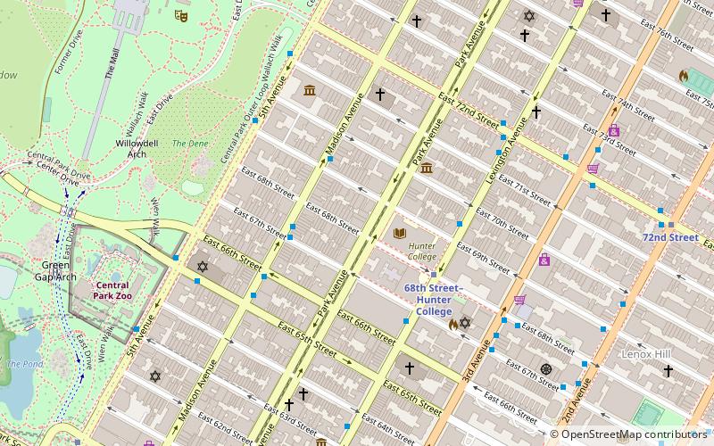
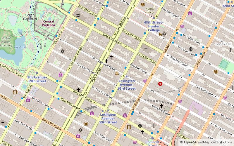
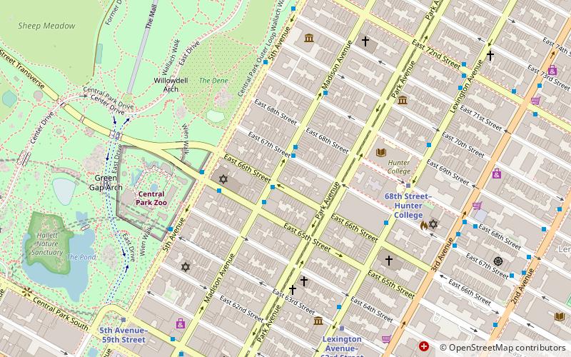
Map
Facts and practical information
The Americas Society is an organization dedicated to education, debate, and dialogue on the Americas. It is located at 680 Park Avenue on the Upper East Side of Manhattan, and was established by David Rockefeller in 1965. The Americas Society promotes the understanding of the economic, political, and social issues confronting Latin America, the Caribbean, and Canada; its mission is "to increase public awareness and appreciation of the diverse cultural heritage of the Americas and the importance of the inter-American relationship." ()
Coordinates: 40°46'8"N, 73°57'58"W
Address
Upper Manhattan (Upper East Side)New York City
ContactAdd
Social media
Add
Getting there by public transportation
Public transportation stops near this location
- Metro
- Bus
- Train
 Metro
Metro
- Calculate route68th Street–Hunter College 4 min walk
- Calculate routeLexington Avenue–63rd Street 8 min walk
- Calculate route72nd Street 9 min walk
- Calculate route2 Av/E 68 St 9 min walk
- Calculate route2 Av/E 70 St 9 min walk
- Calculate routeMadison Avenue & East 75th Street 10 min walk
- Calculate routeGrand Central Terminal 32 min walk
Maps SubwayMaps
 Manhattan Buses
SubwayMapsManhattan BusesDay trips


Frequently Asked Questions (FAQ)
Which popular attractions are close to Americas Society?
Nearby attractions include Asia Society, New York City (3 min walk), 66th Street, New York City (3 min walk), Park Avenue Armory, New York City (3 min walk), Roosevelt House Public Policy Institute at Hunter College, New York City (4 min walk).
How to get to Americas Society by public transport?
The nearest stations to Americas Society:
Metro
Bus
Train
Metro
- 68th Street–Hunter College • Lines: <6>, 4, 6 (4 min walk)
- Lexington Avenue–63rd Street • Lines: <F>, F, Q (8 min walk)
Bus
- 2 Av/E 68 St • Lines: M15, M15-Sbs (9 min walk)
- 2 Av/E 70 St • Lines: M15 (9 min walk)
Train
- Grand Central Terminal (32 min walk)