66th Street, New York City
Map
Facts and practical information
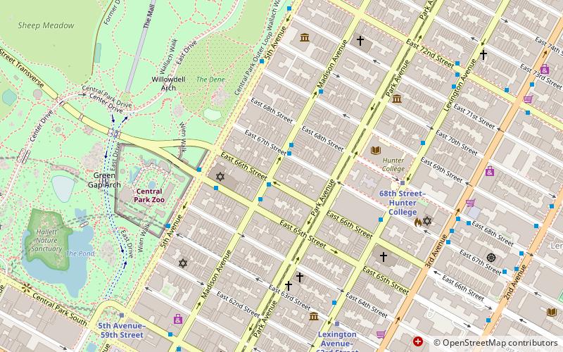
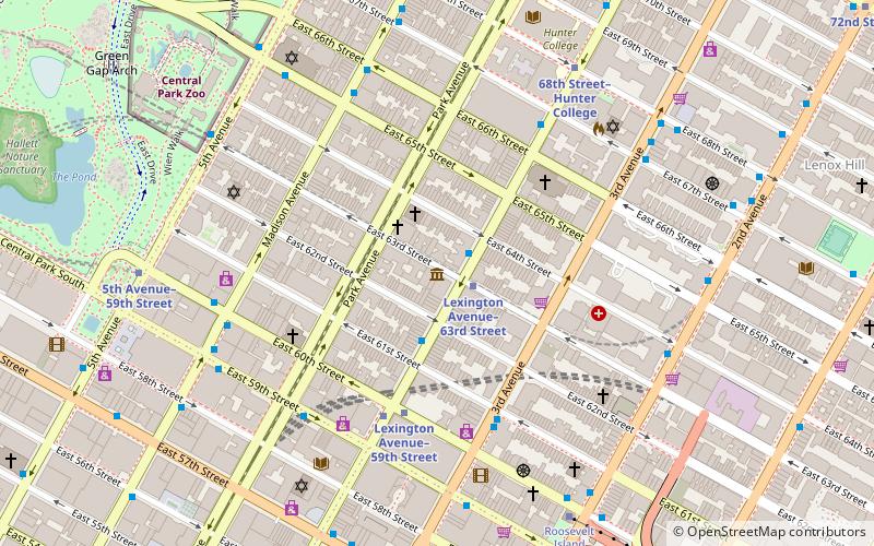
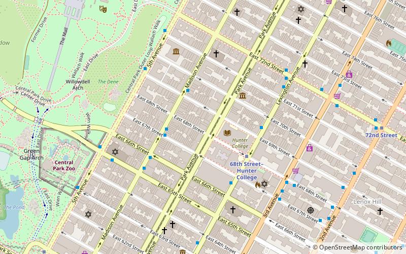
66th Street is a crosstown street in the New York City borough of Manhattan with portions on the Upper East Side and Upper West Side connected across Central Park via the 66th Street transverse. West 66th Street is notable for hosting the Lincoln Center for the Performing Arts between Broadway and Columbus Avenue. ()
Coordinates: 40°46'5"N, 73°58'4"W
Address
45 East 66th StreetUpper Manhattan (Upper East Side)New York City
ContactAdd
Social media
Add
Getting there by public transportation
Public transportation stops near this location
- Metro
- Bus
- Train
 Metro
Metro
- Calculate route68th Street–Hunter College 6 min walk
- Calculate routeLexington Avenue–63rd Street 7 min walk
- Calculate route59th Street 9 min walk
- Calculate routeEast 60th Street/Madison Avenue 8 min walk
- Calculate routeEast 59th Street & Madison Avenue 10 min walk
- Calculate routeGrand Central Terminal 30 min walk
Maps SubwayMaps
 Manhattan Buses
SubwayMapsManhattan BusesDay trips


Frequently Asked Questions (FAQ)
Which popular attractions are close to 66th Street?
Nearby attractions include Roosevelt House Public Policy Institute at Hunter College, New York City (2 min walk), Temple Emanu-El, New York City (3 min walk), Bernard Museum of Judaica, New York City (3 min walk), Pace Gallery, New York City (3 min walk).
How to get to 66th Street by public transport?
The nearest stations to 66th Street:
Metro
Bus
Train
Metro
- 68th Street–Hunter College • Lines: <6>, 4, 6 (6 min walk)
- Lexington Avenue–63rd Street • Lines: <F>, F, Q (7 min walk)
Bus
- East 60th Street/Madison Avenue • Lines: Q32 (8 min walk)
- East 59th Street & Madison Avenue • Lines: Q32 (10 min walk)
Train
- Grand Central Terminal (30 min walk)