Pequonnock River Railroad Bridge, Bridgeport
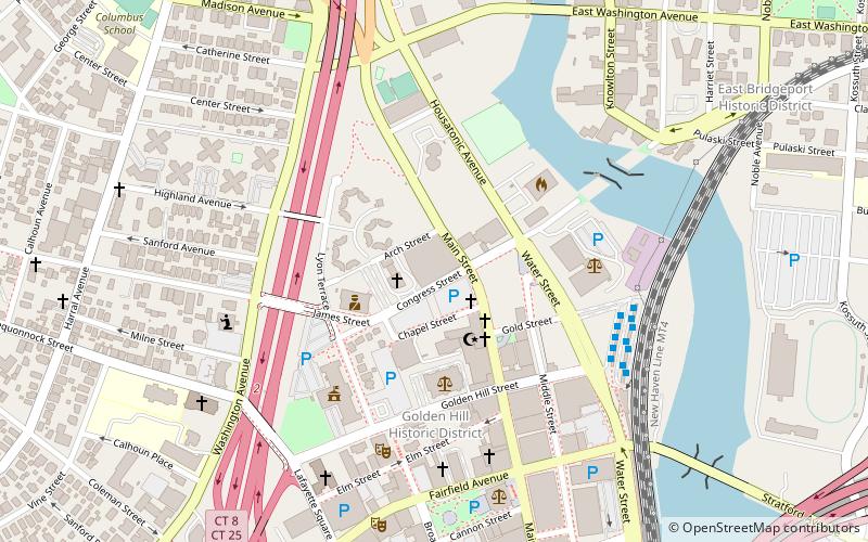
Map
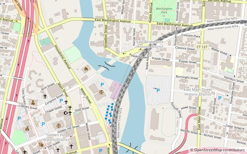
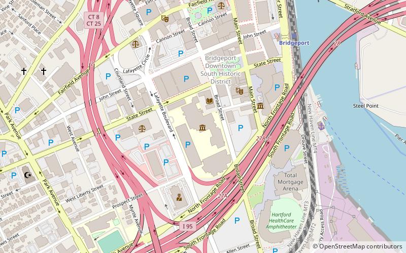
Map

Facts and practical information
The Pequonnock River Railroad Bridge is a railroad drawbridge over the Pequonnock River in Bridgeport, Connecticut. Owned by the State of Connecticut and maintained and operated by both Amtrak and Metro-North Railroad, it is also referred to as Pequonnock River Bridge, PECK Bridge, and Undergrade Bridge 55.90. Currently the bridge is part of the Northeast Corridor line, carrying rail traffic of Amtrak and Metro-North, as well as freight trains operated by the Providence & Worcester Railroad. ()
Opened: 1998 (28 years ago)Length: 372 ftWidth: 35 ftCoordinates: 41°10'59"N, 73°11'11"W
Address
Downtown BridgeportBridgeport
ContactAdd
Social media
Add
Day trips
Pequonnock River Railroad Bridge – popular in the area (distance from the attraction)
Nearby attractions include: Webster Bank Arena, Nathaniel Wheeler Memorial Fountain, Barnum Museum, McLevy Hall.
Frequently Asked Questions (FAQ)
Which popular attractions are close to Pequonnock River Railroad Bridge?
Nearby attractions include East Washington Avenue Bridge, Bridgeport (7 min walk), Palace and Majestic Theaters, Bridgeport (7 min walk), Cardinal Shehan Center, Bridgeport (7 min walk), East Bridgeport Historic District, Bridgeport (8 min walk).
How to get to Pequonnock River Railroad Bridge by public transport?
The nearest stations to Pequonnock River Railroad Bridge:
Bus
Train
Bus
- B6 • Lines: 1 (3 min walk)
- C6 • Lines: 19X (3 min walk)
Train
- Bridgeport (10 min walk)


