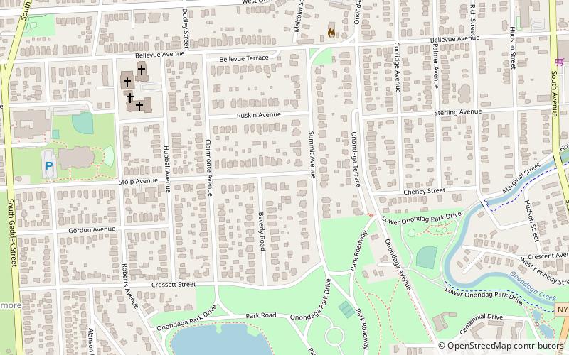
Onondaga Highlands–Swaneola Heights Historic District, Syracuse
Map
Facts and practical information
The Onondaga Highlands–Swaneola Heights Historic District is a historic district in the Strathmore neighborhood of Syracuse, New York. The historic district was nominated to be listed on the National Register of Historic Places in 2009. The New York State's Board of Historic Preservation described the district as "'a turn-of-the-20th-century subdivision where the rolling topography, uniform building setback and popular residential styles form a cohesive neighborhood that retains its architectural integrity.'" ()
Coordinates: 43°1'49"N, 76°10'1"W
Address
Southside (Strathmore)Syracuse
ContactAdd
Social media
Add
Getting there by public transportation
Public transportation stops near this location
- Bus
 Bus
Bus
- Calculate routeA1 31 min walk
- Calculate routeB8 31 min walk
- Calculate routeA7 31 min walk
- Calculate routeA2 31 min walk
Day trips


Frequently Asked Questions (FAQ)
Which popular attractions are close to Onondaga Highlands–Swaneola Heights Historic District?
Nearby attractions include Onondaga Park, Syracuse (8 min walk), Trinity Episcopal Church, Syracuse (18 min walk), Skunk City, Syracuse (20 min walk), Elmwood Park, Syracuse (23 min walk).
How to get to Onondaga Highlands–Swaneola Heights Historic District by public transport?
The nearest stations to Onondaga Highlands–Swaneola Heights Historic District:
Bus
Bus
- A1 • Lines: 110, 136, 216, 226, 254, 36, 374, 410, 510, 62, 74 (31 min walk)
- B8 • Lines: 110, 116, 16, 184, 216, 316, 410, 410X, 510 (31 min walk)