South Salina Street Historic District, Syracuse
Map
Gallery
Facts and practical information
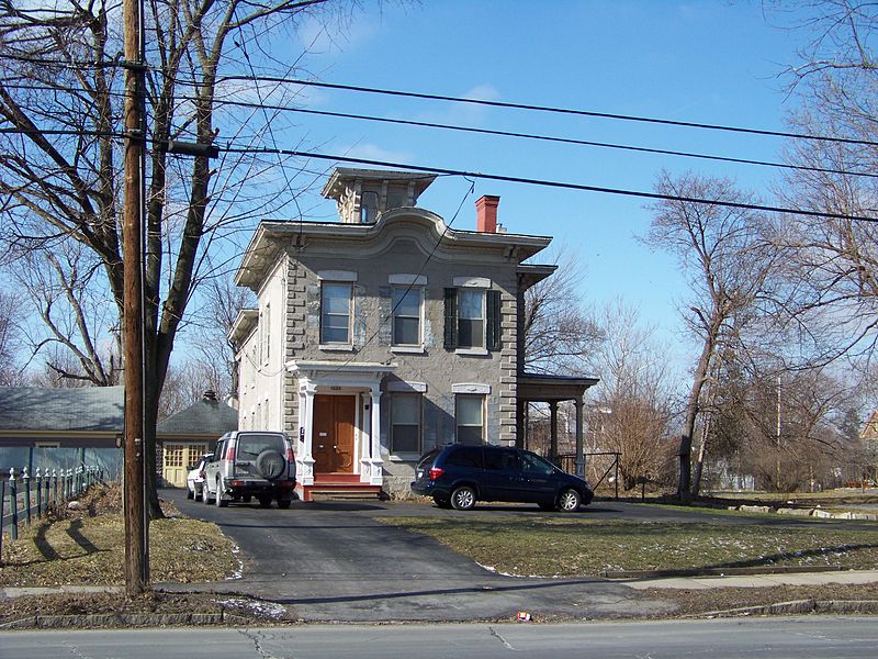
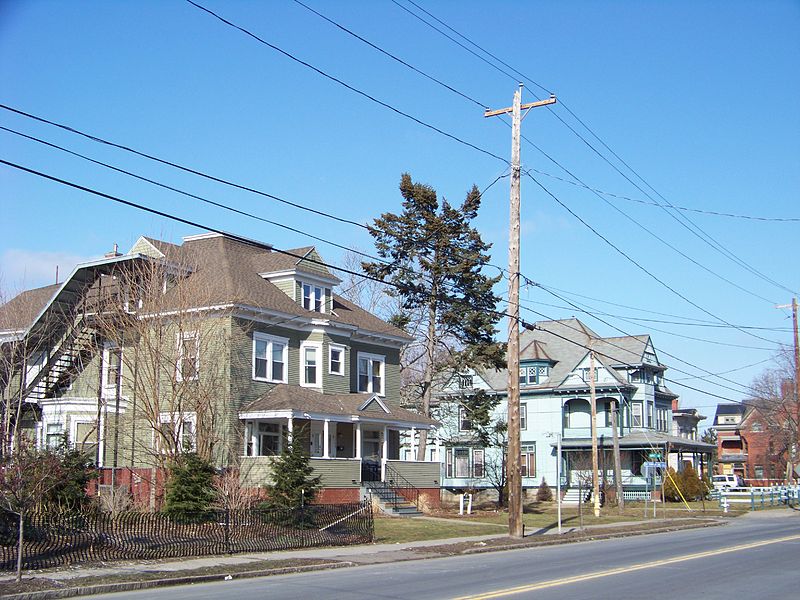
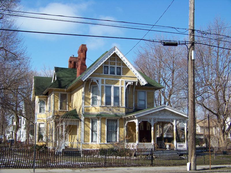
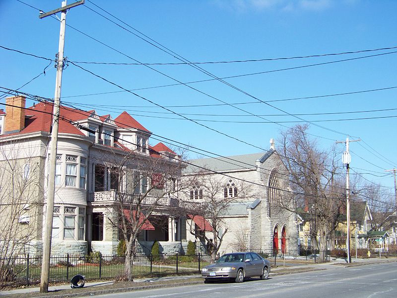
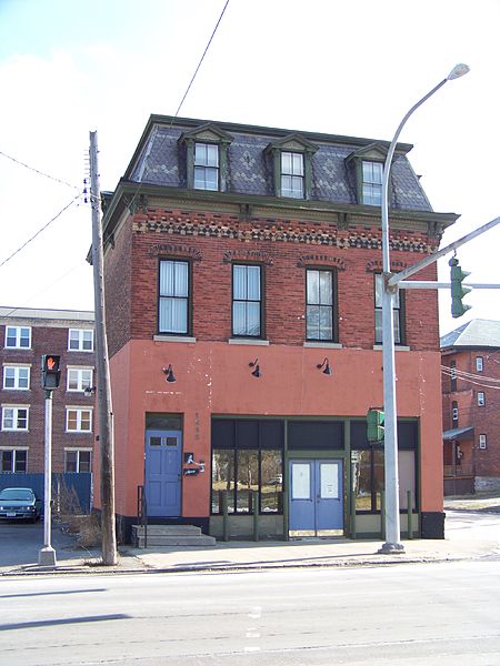
The South Salina Street Historic District is located in Syracuse, New York. The district encompasses the historic core of what was originally the village of Danforth. It was added to the National Register of Historic Places in 1986. ()
Coordinates: 43°1'46"N, 76°8'51"W
Address
Southside (Brighton)Syracuse
ContactAdd
Social media
Add
Day trips
South Salina Street Historic District – popular in the area (distance from the attraction)
Nearby attractions include: Carrier Dome, Oncenter, Oakwood Cemetery, Onondaga Creekwalk.
Frequently Asked Questions (FAQ)
Which popular attractions are close to South Salina Street Historic District?
Nearby attractions include Oakwood Cemetery, Syracuse (15 min walk), Syracuse University College of Law, Syracuse (17 min walk), Crouse College, Syracuse (21 min walk), Syracuse University – Comstock Tract buildings, Syracuse (23 min walk).
How to get to South Salina Street Historic District by public transport?
The nearest stations to South Salina Street Historic District:
Bus
Bus
- B8 • Lines: 110, 116, 16, 184, 216, 316, 410, 410X, 510 (25 min walk)
- C19 • Lines: 188, 288, 388, 388X, 40, 46, 88 (25 min walk)


