St. John's Burying Ground, New York City
Map
Facts and practical information
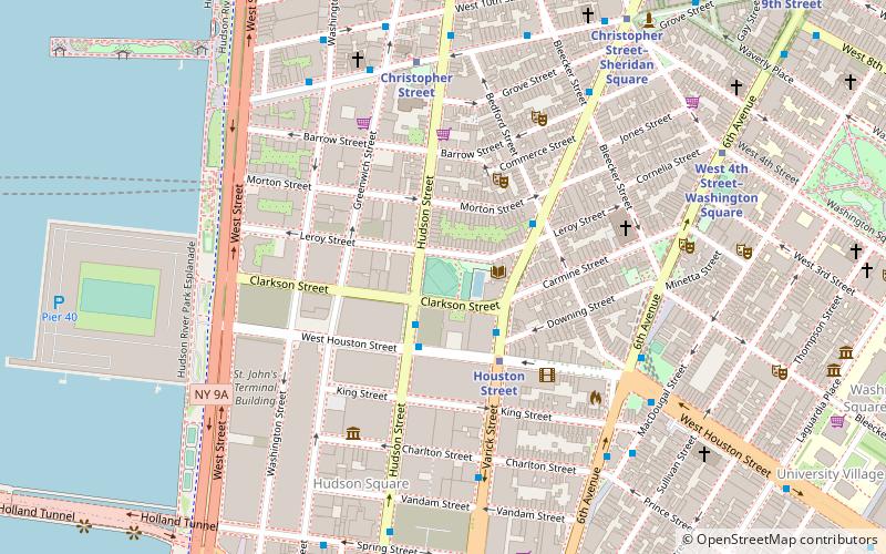
St. John's Burying Ground was a cemetery bounded by Varick Street, Leroy Street, Hudson Street and Clarkson Street in the Greenwich Village neighborhood of Lower Manhattan. The ground was connected with St. John's Chapel of Trinity Parish from 1834 to 1898, although many of the burials predate the cemetery's acquisition by the church. The last burials were in about 1860. It is estimated that about 10,000 people were buried there. ()
Coordinates: 40°43'47"N, 74°0'23"W
Address
Downtown Manhattan (West Village)New York City
ContactAdd
Social media
Add
Getting there by public transportation
Public transportation stops near this location
- Metro
- Bus
- Train
- Ferry
 Metro
Metro
- Calculate routeHouston Street 3 min walk
- Calculate routeChristopher Street 6 min walk
- Calculate routeSpring Street 8 min walk
- Calculate routeBethune Street & Greenwich Street 13 min walk
- Calculate routeBroadway & West Houston Street 15 min walk
- Calculate routeHoboken NJ Transit Terminal 29 min walk
- Calculate routeBrookfield Place / Battery Park City Ferry Terminal 31 min walk
- Calculate routeHoboken Terminal 30 min walk
Maps SubwayMaps
 Manhattan Buses
SubwayMapsManhattan BusesDay trips


Frequently Asked Questions (FAQ)
Which popular attractions are close to St. John's Burying Ground?
Nearby attractions include James J. Walker Park, New York City (1 min walk), Greenspon Gallery, New York City (3 min walk), Cherry Lane Theatre, New York City (3 min walk), Gavin Brown's Enterprise, New York City (3 min walk).
How to get to St. John's Burying Ground by public transport?
The nearest stations to St. John's Burying Ground:
Metro
Bus
Ferry
Train
Metro
- Houston Street • Lines: 1, 2 (3 min walk)
- Christopher Street • Lines: Hob–33, Jsq–33, JSQ–33 via HOB (6 min walk)
Bus
- Bethune Street & Greenwich Street • Lines: M11 (13 min walk)
- Broadway & West Houston Street • Lines: M55 (15 min walk)
Ferry
- Hoboken NJ Transit Terminal (29 min walk)
- Brookfield Place / Battery Park City Ferry Terminal (31 min walk)
Train
- Hoboken Terminal (30 min walk)