Castle Square Theatre, Boston
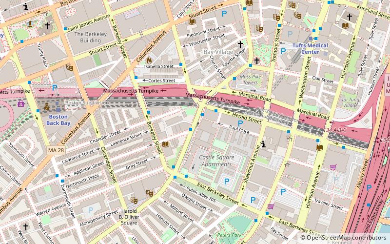
Map
Facts and practical information
The Castle Square Theatre in Boston, Massachusetts, was located on Tremont Street in the South End. The building existed until its demolition in 1933. ()
Coordinates: 42°20'49"N, 71°4'8"W
Address
South EndBoston
ContactAdd
Social media
Add
Day trips
Castle Square Theatre – popular in the area (distance from the attraction)
Nearby attractions include: Club Café, Trinity Church, Copley Square, Park Square.
Frequently Asked Questions (FAQ)
Which popular attractions are close to Castle Square Theatre?
Nearby attractions include Boston Tea Party, Boston (3 min walk), Armory of the First Corps of Cadets, Boston (5 min walk), Boston Center for the Arts, Boston (5 min walk), Cyclorama Building, Boston (6 min walk).
How to get to Castle Square Theatre by public transport?
The nearest stations to Castle Square Theatre:
Bus
Metro
Train
Light rail
Bus
- Herald St @ Tremont St • Lines: 9 (2 min walk)
- Berkeley St @ Chandler St • Lines: 9 (3 min walk)
Metro
- Back Bay • Lines: Orange (8 min walk)
- Tufts Medical Center • Lines: Orange (8 min walk)
Train
- Boston Back Bay (8 min walk)
- Boston South Station (20 min walk)
Light rail
- Arlington • Lines: B, C, D, E (9 min walk)
- Boylston • Lines: B, C, D, E (13 min walk)
 MBTA Subway