Westbrae, Berkeley
Facts and practical information
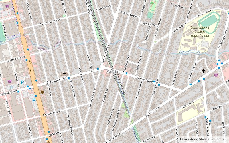
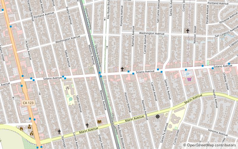
Westbrae is a neighborhood in the northern part of Berkeley, California in the East Bay section of the San Francisco Bay Area. Westbrae is "centered" on the intersection of Santa Fe Avenue and Gilman Street, although the main extent is east, south and west of this intersection, with the Albany city limit only a short distance north. It lies at an elevation of 79 feet. The neighborhood is mainly residential, with a small commercial section along Gilman from Santa Fe to Tevlin Street. In the past, businesses consisted of liquor and grocery stores but now are small restaurants, a natural food store, bakeries, and a nursery. The elevated tracks of the BART Richmond line cut diagonally across Westbrae, crossing over Gilman in the commercial section. There is a church formerly named the Westbrae Bible Church, now the Evangel Bible Church of Berkeley, located nearby on the corner of Hopkins and Ordway about three blocks from the center of the Westbrae neighborhood. The current, most notable businesses are the Berkeley Natural Grocery Company, the Westbrae Biergarten, and Westbrae Nursery. ()
Berkeley (West Berkeley)Berkeley
- Metro
- Bus
- Train
 Metro
Metro
- Calculate routeGilman Street & Curtis Street 1 min walk
- Calculate routeNorth Berkeley 16 min walk
- Calculate routeBerkeley 29 min walk


Frequently Asked Questions (FAQ)
Which popular attractions are close to Westbrae?
How to get to Westbrae by public transport?
Bus
- Gilman Street & Curtis Street • Lines: 12 (1 min walk)
Metro
- North Berkeley • Lines: Orange, Red (16 min walk)
Train
- Berkeley (29 min walk)