Manhattan Valley, New York City
Map
Gallery
Facts and practical information
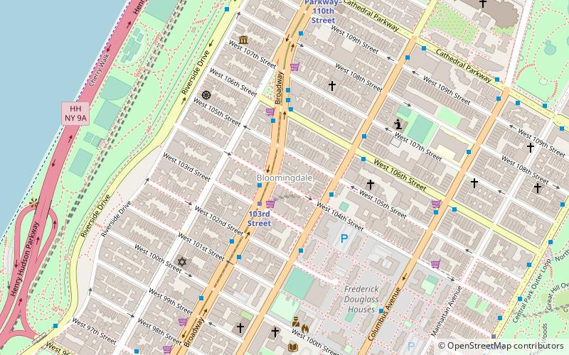
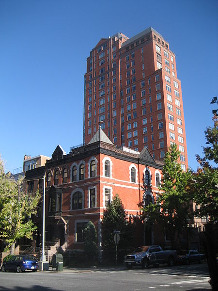
Manhattan Valley is a neighborhood in the northern part of Upper West Side in Manhattan, New York City. It is bounded by West 110th Street to the north, Central Park West to the east, West 96th Street to the south, and Broadway to the west. It was formerly known as the Bloomingdale District, a name still in occasional use. ()
Address
Upper Manhattan (Upper West Side)New York City
ContactAdd
Social media
Add
Day trips
Manhattan Valley – popular in the area (distance from the attraction)
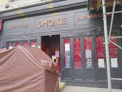
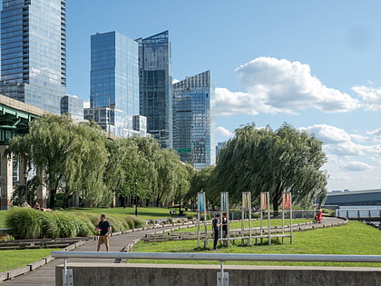
Nearby attractions include: Smoke, The Pool, Cathedral of Saint John the Divine, Peace Fountain.
Frequently Asked Questions (FAQ)
Which popular attractions are close to Manhattan Valley?
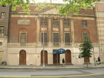
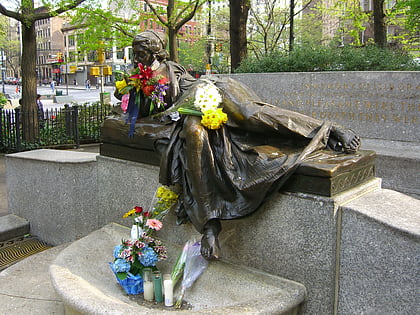
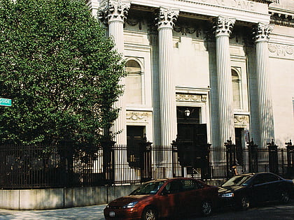
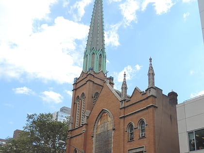
Nearby attractions include Straus Park, New York City (4 min walk), Master Apartments, New York City (5 min walk), Ansche Chesed, New York City (6 min walk), Nicholas Roerich Museum, New York City (6 min walk).
How to get to Manhattan Valley by public transport?
The nearest stations to Manhattan Valley:
Bus
Metro
Bus
- Broadway & West 104th Street • Lines: M104 (2 min walk)
- Broadway & West 106th Street • Lines: M60 Sbs (4 min walk)
Metro
- 103rd Street • Lines: 1, A, B, C (11 min walk)
- Cathedral Parkway–110th Street • Lines: 1 (8 min walk)

 Subway
 Manhattan Buses