Hope–Power–Cooke Streets Historic District, Providence

Facts and practical information
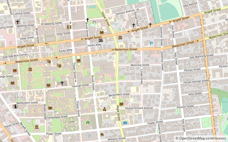
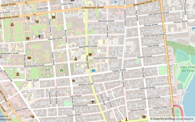
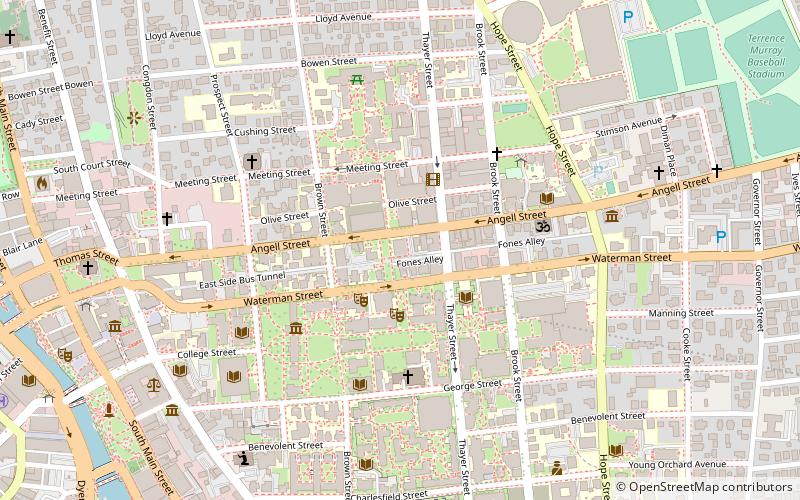
The Hope–Power–Cooke Streets Historic District is a residential historic district on the East Side of Providence, Rhode Island. Located east of Brown University, the area is compact area developed in the mid-to-late 19th century as a residential district, with a cross-section of architectural styles from the early 19th to the early 20th century. The district is bounded on the north by Angell Street, on the east by Governor Street, on the south by Power Street, and on the west by Hope Street. Cooke Street is the main thorough fare running through the center of the district, which is six blocks long and two wide. The district abuts the Stimson Avenue Historic District, which lies immediately to its west. ()
College HillProvidence
- Bus
- Train
 Bus
Bus
- Calculate routeDorrance and Pine 19 min walk
- Calculate routeKennedy Plaza Stop Y 20 min walk
- Calculate routeKennedy Plaza Intermodal Transportation Center 20 min walk
- Calculate routeExchange Terrace Stop X 20 min walk
- Calculate routeProvidence 22 min walk
Hope–Power–Cooke Streets Historic District – popular in the area (distance from the attraction)
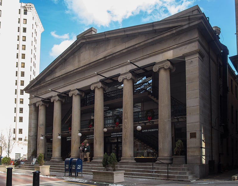
Nearby attractions include: Wickenden Street, Providence Place, The Arcade, Rhode Island Historical Society.


Frequently Asked Questions (FAQ)
Which popular attractions are close to Hope–Power–Cooke Streets Historic District?
How to get to Hope–Power–Cooke Streets Historic District by public transport?
Bus
- Dorrance and Pine • Lines: 1, 3, 3A, 3B, 62 (19 min walk)
- Kennedy Plaza Stop Y • Lines: 49, 60 (20 min walk)
Train
- Providence (22 min walk)