Pink Triangle Park, San Francisco

Gallery (3)
Map
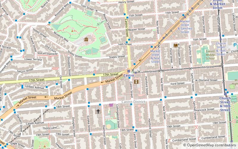
Map
Gallery
Facts and practical information
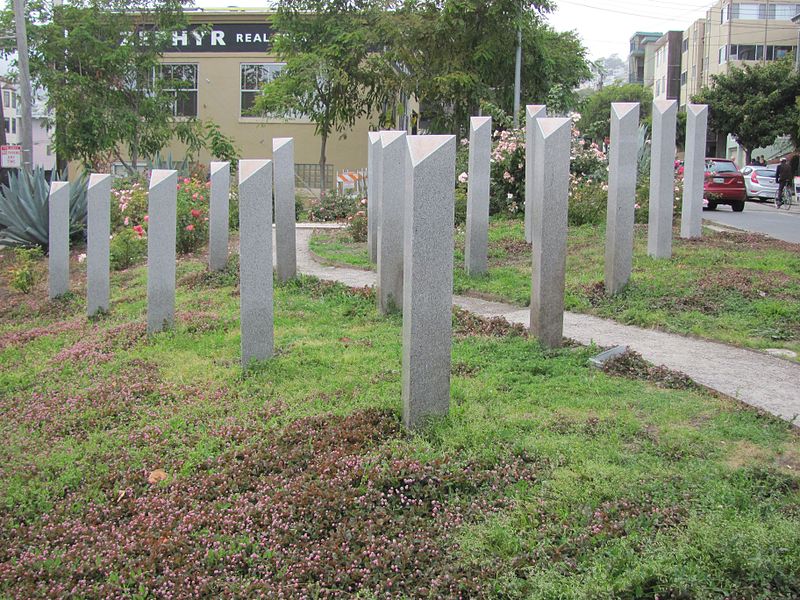
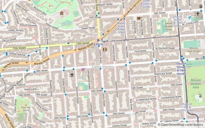
The Pink Triangle Park is a triangle-shaped mini-park located in the Castro District of San Francisco, California. The park is less than 4,000 square feet and faces Market Street with 17th Street to its back. The park sits directly above the Castro Street Station of Muni Metro, across from Harvey Milk Plaza. It is the first permanent, free-standing memorial in America dedicated to the thousands of persecuted homosexuals in Nazi Germany during the Holocaust of World War II. ()
Getting there by public transportation
Public transportation stops near this location
- Metro
- Bus
- Trolleybus
- Tram
- Light rail
- Train
 Metro
Metro
- Calculate routeMarket Street & Castro Street 2 min walk
- Calculate route17th Street & Diamond Street 3 min walk
- Calculate routeMarket Street & 16th Street 5 min walk
- Calculate routeCorbett Avenue & Douglass Street 6 min walk
- Calculate routeCastro Street & 17th Street 2 min walk
- Calculate route18th Street & Castro Street 3 min walk
- Calculate routeCastro 2 min walk
- Calculate routeChurch Street & 18th Street 11 min walk
- Calculate routeRight of Way & 18th Street 12 min walk
- Calculate route17th Street & Castro Street 2 min walk
- Calculate routeMarket Street & Church Street 14 min walk
- Calculate routeCarl Street & Cole Street 21 min walk
- Calculate route16th Street Mission 24 min walk
- Calculate route24th Street Mission 30 min walk
Maps Muni Metro
Muni MetroDay trips


Frequently Asked Questions (FAQ)
Which popular attractions are close to Pink Triangle Park?
Nearby attractions include Harvey Milk Plaza, San Francisco (1 min walk), Twin Peaks Tunnel, San Francisco (2 min walk), Castro Theatre, San Francisco (2 min walk), GLBT History Museum, San Francisco (3 min walk).
How to get to Pink Triangle Park by public transport?
The nearest stations to Pink Triangle Park:
Bus
Trolleybus
Light rail
Tram
Train
Metro
Bus
- Market Street & Castro Street • Lines: 37, Kbus, L-Owl, Lbus (2 min walk)
- 17th Street & Diamond Street • Lines: 37 (3 min walk)
Trolleybus
- Castro Street & 17th Street • Lines: 24 (2 min walk)
- 18th Street & Castro Street • Lines: 33 (3 min walk)
Light rail
- Castro • Lines: K, S, T (2 min walk)
- Church Street & 18th Street • Lines: J (11 min walk)
Tram
- 17th Street & Castro Street • Lines: F (2 min walk)
- Market Street & Church Street • Lines: F (14 min walk)
Train
- Carl Street & Cole Street (21 min walk)
Metro
- 16th Street Mission • Lines: Blue, Green, Red, Yellow (24 min walk)
- 24th Street Mission • Lines: Blue, Green, Red, Yellow (30 min walk)