Pleasant–High Historic District, Methuen
Map

Map

Facts and practical information
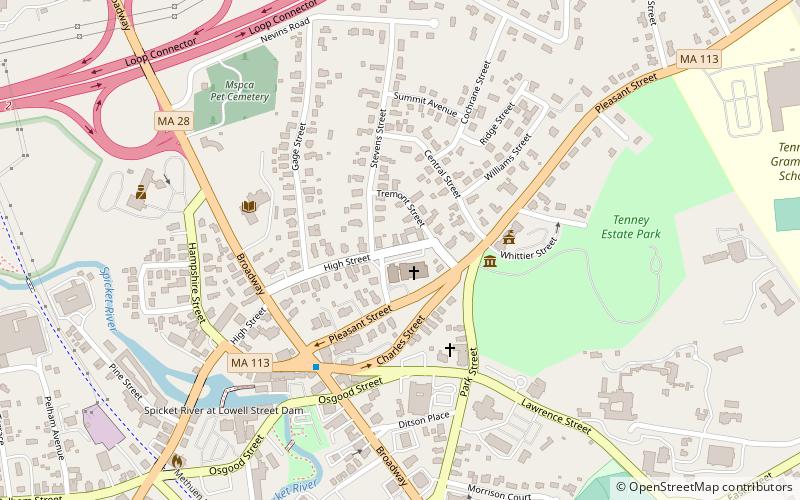
The Pleasant–High Historic District encompasses the earliest area of non-agricultural residential development in Methuen, Massachusetts. It encompasses houses along High and Pleasant Streets from just east of Broadway to Vine Street, as well as a few that face on adjoining streets. The district was listed on the National Register of Historic Places in 1984; on its western boundary it abuts the Spicket Falls Historic District. ()
Coordinates: 42°43'47"N, 71°11'9"W
Address
Methuen (Downtown Methuen)Methuen
ContactAdd
Social media
Add
Day trips
Pleasant–High Historic District – popular in the area (distance from the attraction)
Nearby attractions include: Methuen Memorial Music Hall, Lawrence Street Cemetery, Greycourt State Park, First Baptist Church.
Frequently Asked Questions (FAQ)
Which popular attractions are close to Pleasant–High Historic District?
Nearby attractions include First Church Congregational, Methuen (1 min walk), Tenney Castle Gatehouse, Methuen (2 min walk), First Baptist Church, Methuen (4 min walk), Nevins Memorial Library, Methuen (4 min walk).


