Willamette National Cemetery, Portland
Map

Gallery

Facts and practical information
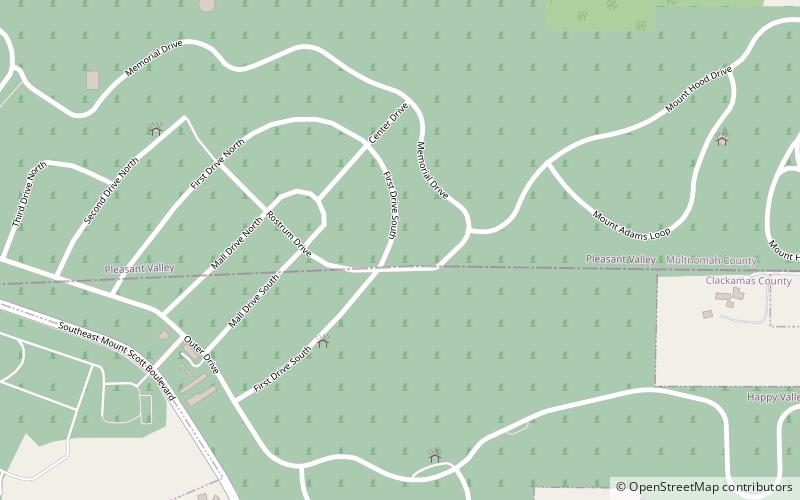
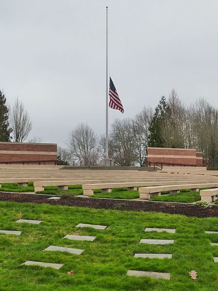
Willamette National Cemetery is a United States National Cemetery located about 10 miles southeast of the city of Portland, Oregon. Administered by the United States Department of Veterans Affairs, it encompasses 269.4 acres straddling the county line between Multnomah and Clackamas Counties. As of 2021, there had been 188,000 interments. It is one of three national cemeteries in Oregon. ()
Established: 1949 (77 years ago)Unveiled: 1951Coordinates: 45°27'42"N, 122°32'17"W
Address
East Portland (Pleasant Valley)Portland
ContactAdd
Social media
Add
Day trips
Willamette National Cemetery – popular in the area (distance from the attraction)
Nearby attractions include: Clackamas Town Center, Powell Butte, Leach Botanical Garden, Mt. Scott Park.
Frequently Asked Questions (FAQ)
How to get to Willamette National Cemetery by public transport?
The nearest stations to Willamette National Cemetery:
Bus
Bus
- Southeast 112th & Mount Scott Boulevard • Lines: 19 (14 min walk)
- Southeast Foster & 120th • Lines: 10, 73 (27 min walk)


