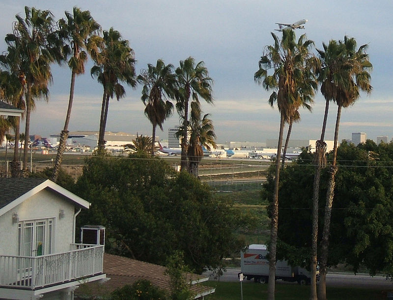
Playa del Rey, Los Angeles

Gallery (4)
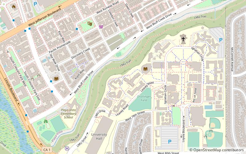
Map

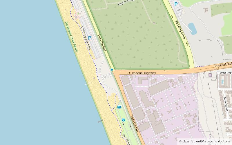
Map
Gallery
Facts and practical information
Playa del Rey is a seaside community in the Santa Monica Bay and the Westside region of Los Angeles, California. It has a ZIP code of 90293 and area codes of 310 and 424. As of 2018, the community had a population of 16,230 people. ()
Address
Silicon Beach (Playa del Rey)Los Angeles
ContactAdd
Social media
Add
Getting there by public transportation
Public transportation stops near this location
- Bus
 Bus
Bus
- Calculate routeManchester / Pershing 5 min walk
Maps Metro & Regional Rail
Metro & Regional RailDay trips


Frequently Asked Questions (FAQ)
How to get to Playa del Rey by public transport?
The nearest stations to Playa del Rey:
Bus
Bus
- Manchester / Pershing • Lines: 115 (5 min walk)