Virginia Avenue, Washington D.C.
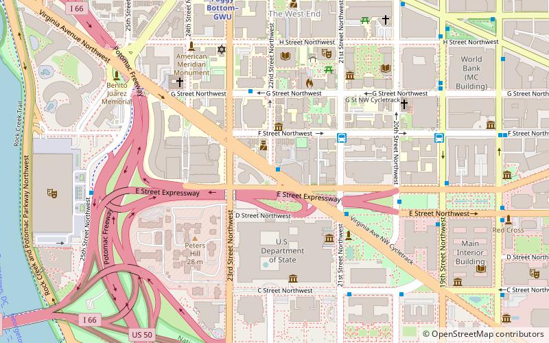
Map
Map

Facts and practical information
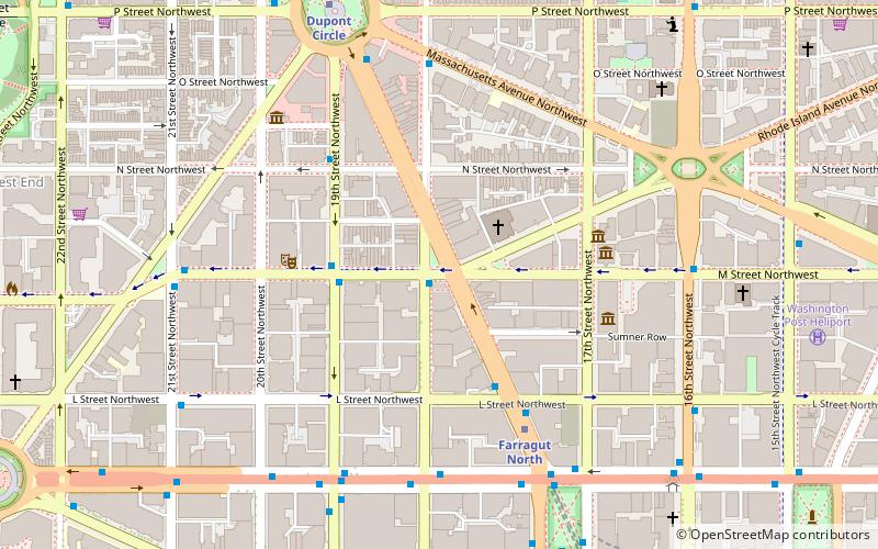
Virginia Avenue is a street in the Northwest, Southwest, and Southeast quadrants of Washington, D.C. Like other state-named streets in Washington, it diagonally crosses the grid pattern formed by lettered and numbered streets. ()
Coordinates: 38°53'47"N, 77°2'55"W
Address
Northwest Washington (Foggy Bottom - GWU - West End)Washington D.C.
ContactAdd
Social media
Add
Day trips
Virginia Avenue – popular in the area (distance from the attraction)
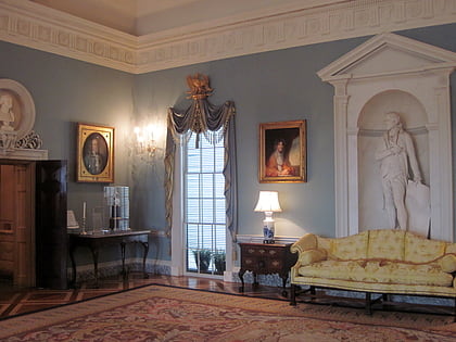
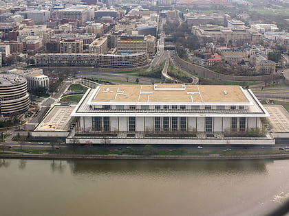
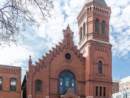
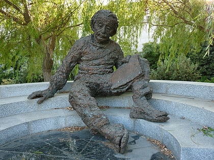
Nearby attractions include: Diplomatic Reception Rooms, John F. Kennedy Center for the Performing Arts, Concordia German Evangelical Church and Rectory, Albert Einstein Memorial.
Frequently Asked Questions (FAQ)
Which popular attractions are close to Virginia Avenue?
Nearby attractions include Ulysses S. Grant School, Washington D.C. (4 min walk), Ralph J. Bunche Library, Washington D.C. (4 min walk), Old Naval Observatory, Washington D.C. (5 min walk), Diplomatic Reception Rooms, Washington D.C. (5 min walk).
How to get to Virginia Avenue by public transport?
The nearest stations to Virginia Avenue:
Bus
Metro
Bus
- 21st St & F St Northwest (4 min walk)
- 19th St & F St Northwest (8 min walk)
Metro
- Foggy Bottom–GWU • Lines: Bl, Or, Sv (9 min walk)
- Farragut West • Lines: Bl, Or, Sv (15 min walk)

