Saint Paul Municipal Grain Terminal, Saint Paul
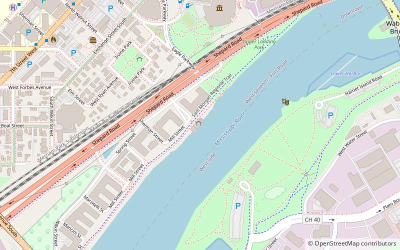
Map
Gallery
Facts and practical information
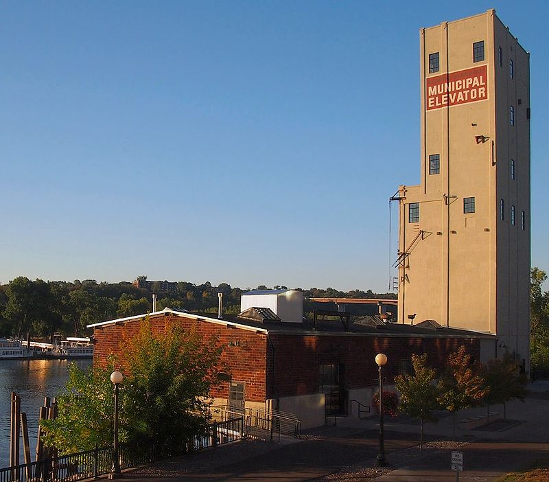
The Saint Paul Municipal Grain Terminal, also known as the head house and sack house, sits on piers over the Mississippi River in Saint Paul, Minnesota, United States. It was built between 1927 and 1931 as part of the Equity Cooperative Exchange and is a remnant of Saint Paul's early history as a Mississippi River port city. The Saint Paul Municipal Grain Terminal was added to the National Register of Historic Places in 2004. ()
Built: 1927 (99 years ago)Coordinates: 44°56'20"N, 93°5'59"W
Address
West SeventhSaint Paul
ContactAdd
Social media
Add
Day trips
Saint Paul Municipal Grain Terminal – popular in the area (distance from the attraction)
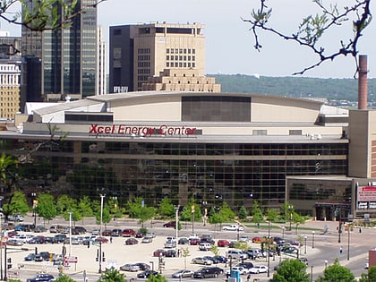
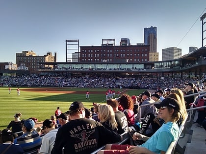
Nearby attractions include: Xcel Energy Center, Cray Plaza, Science Museum of Minnesota, CHS Field.
Frequently Asked Questions (FAQ)
Which popular attractions are close to Saint Paul Municipal Grain Terminal?
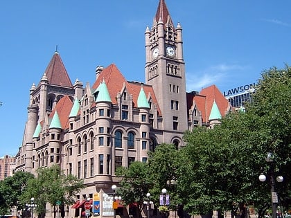
Nearby attractions include Minnesota Centennial Showboat, Saint Paul (5 min walk), Irvine Park Historic District, Saint Paul (5 min walk), Harriet Island Regional Park, Saint Paul (6 min walk), Science Museum of Minnesota, Saint Paul (7 min walk).
How to get to Saint Paul Municipal Grain Terminal by public transport?
The nearest stations to Saint Paul Municipal Grain Terminal:
Bus
Light rail
Train
Bus
- 5th Street & Market Street • Lines: 351, 351H, 353, 363, 94D, 94F (12 min walk)
- 6th Street & Washington Street • Lines: 351, 351H, 353, 363, 94D, 94F (13 min walk)
Light rail
- Central Station • Lines: 902 (16 min walk)
- 10th Street • Lines: 902 (21 min walk)
Train
- Saint Paul Union Depot (24 min walk)

