High Bridge, Saint Paul
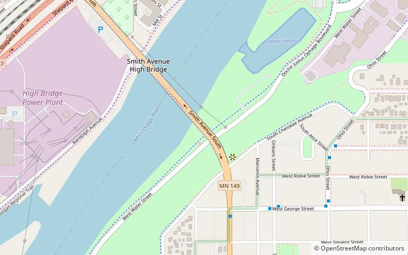
Map
Gallery
Facts and practical information
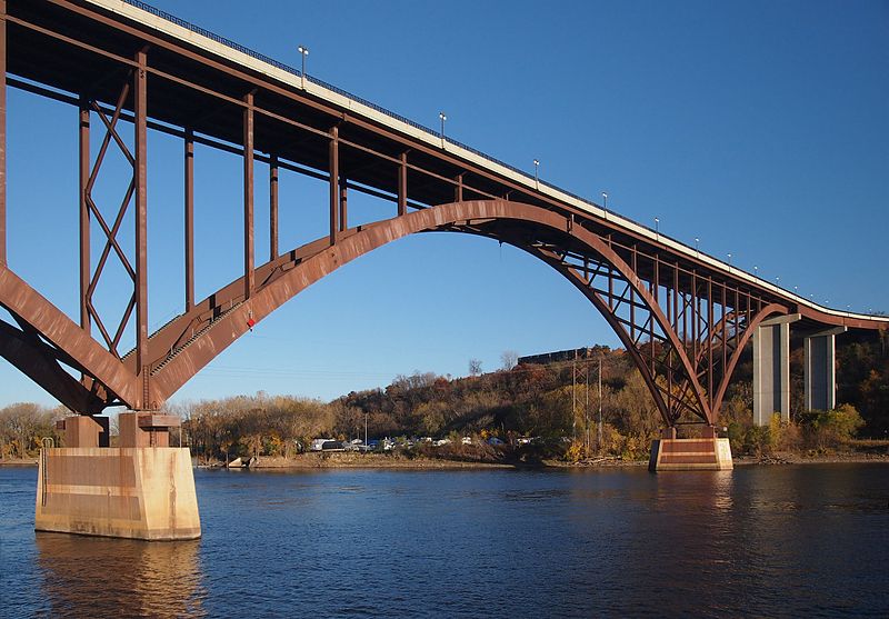
The Smith Avenue High Bridge or the High Bridge is an inverted arch bridge that carries Minnesota State Highway 149 and Smith Avenue over the Mississippi River in Saint Paul, Minnesota, United States. It was built and opened in 1987 at a cost of $20 million. The bridge carries two lanes of street traffic over the river and is the highest bridge in St. Paul, with a deck height of 160 ft and a clearance below of 149 ft. ()
Opened: 1987 (39 years ago)Length: 2770 ftWidth: 54 ftHeight: 160 ftCoordinates: 44°55'55"N, 93°6'11"W
Address
Smith Avenue SWest Side (Riverview)Saint Paul 55102
ContactAdd
Social media
Add
Day trips
High Bridge – popular in the area (distance from the attraction)
Nearby attractions include: Xcel Energy Center, Cray Plaza, Science Museum of Minnesota, Harriet Island Regional Park.
Frequently Asked Questions (FAQ)
Which popular attractions are close to High Bridge?
Nearby attractions include Harriet Island Regional Park, Saint Paul (10 min walk), North High Bridge Park, Saint Paul (12 min walk), West Seventh, Saint Paul (13 min walk), Saint Paul Municipal Grain Terminal, Saint Paul (13 min walk).
How to get to High Bridge by public transport?
The nearest stations to High Bridge:
Bus
Light rail
Train
Bus
- 5th Street & 7th Street • Lines: 351, 351H, 353, 363, 94D, 94F (24 min walk)
- Ramp Entrance • Lines: 351, 351H (26 min walk)
Light rail
- Central Station • Lines: 902 (29 min walk)
- Union Depot • Lines: 902 (35 min walk)
Train
- Saint Paul Union Depot (35 min walk)

