South Beach–Franklin Delano Roosevelt Boardwalk, New York City
Map
Map

Facts and practical information
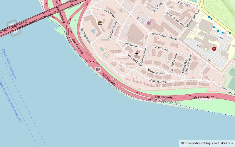
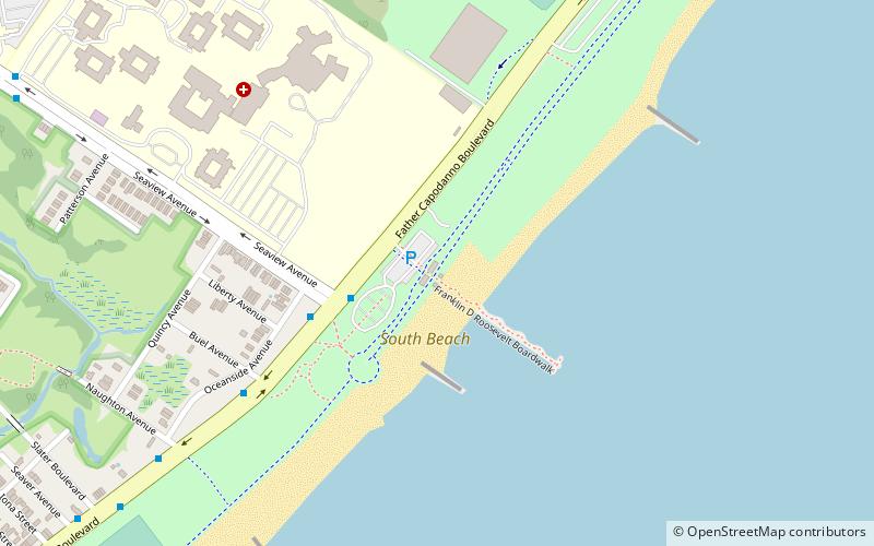
The South Beach–Franklin Delano Roosevelt Boardwalk, alternately referred to as the FDR Boardwalk or the South Beach Boardwalk, is a boardwalk facing the Lower New York Bay on the East Shore of Staten Island, one of the five boroughs of New York City. The boardwalk is the main feature of a public park that stretches from Fort Wadsworth and the Verrazzano-Narrows Bridge to Miller Field, both part of the Gateway National Recreation Area. The park also contains numerous recreational facilities, including a skate park. ()
Created: 1937Visitors per year: 334 thous.Elevation: 3 ft a.s.l.Coordinates: 40°34'47"N, 74°4'33"W
Day trips
South Beach–Franklin Delano Roosevelt Boardwalk – popular in the area (distance from the attraction)
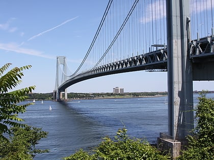
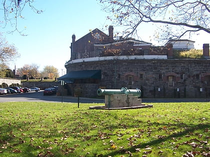
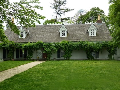
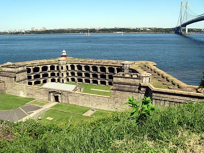
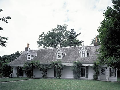
Nearby attractions include: Verrazano-Narrows Bridge, Harbor Defense Museum, Alice Austen House, Battery Weed.
Frequently Asked Questions (FAQ)
How to get to South Beach–Franklin Delano Roosevelt Boardwalk by public transport?
The nearest stations to South Beach–Franklin Delano Roosevelt Boardwalk:
Bus
Metro
Bus
- 435 Father Capodanno Boulevard • Lines: S51 (15 min walk)
- University Hospital • Lines: S52 (16 min walk)
Metro
- Dongan Hills • Lines: Sir (32 min walk)
- Old Town • Lines: Sir (34 min walk)

 Subway
 Manhattan Buses