St. Cloud Dam, Saint Cloud
Map

Map

Facts and practical information
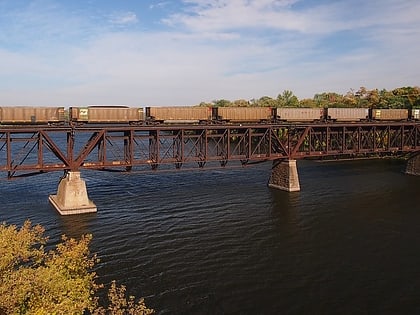
The St. Cloud Dam is a dam across the Mississippi River in the town of St. Cloud, Minnesota, in the United States. The dam is 23.3 feet high and features a three-foot flip-up gate on its top to raise the water level and dragon's teeth at the bottom which are used to disperse energy. The dam also has two 4.5 MW turbines which generate electricity that is fed into the Xcel Energy power grid. ()
Coordinates: 45°32'52"N, 94°8'50"W
Address
Southeast St. CloudSaint Cloud
ContactAdd
Social media
Add
Day trips
St. Cloud Dam – popular in the area (distance from the attraction)
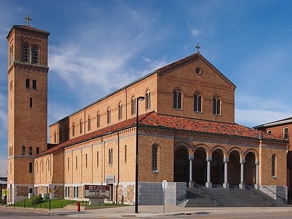
Nearby attractions include: Herb Brooks National Hockey Center, Munsinger Gardens and Clemens Gardens, Granite City Crossing, Cathedral of Saint Mary.
Frequently Asked Questions (FAQ)
Which popular attractions are close to St. Cloud Dam?
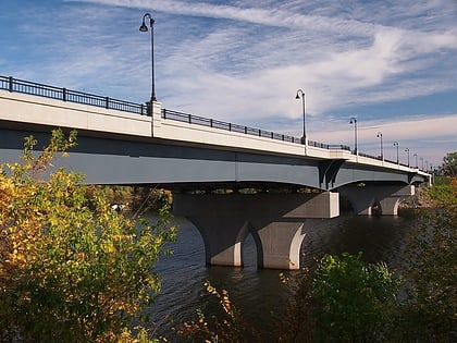
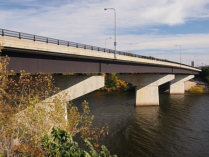
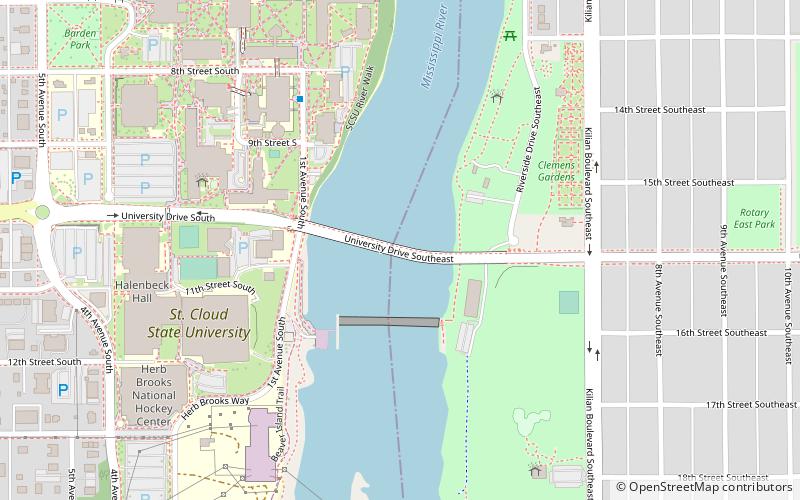
Nearby attractions include University Bridge, Saint Cloud (2 min walk), St. Cloud State University, Saint Cloud (6 min walk), Herb Brooks National Hockey Center, Saint Cloud (7 min walk), Riverview Hall, Saint Cloud (7 min walk).
How to get to St. Cloud Dam by public transport?
The nearest stations to St. Cloud Dam:
Bus
Bus
- Husky Hub (8 min walk)
- St. Cloud Transit Center (25 min walk)


