St. Stephan's Church, Newark
Map
Map

Facts and practical information
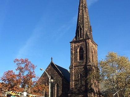
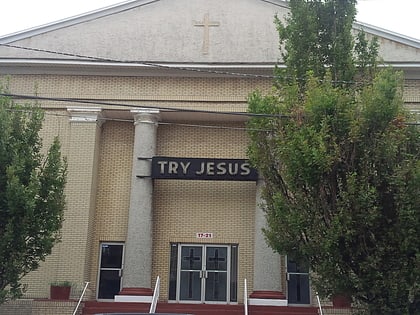
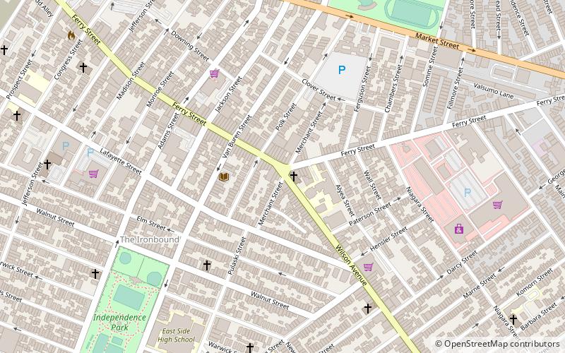
St. Stephan's Church is a historic church on Ferry Street and Wilson Avenue in the Ironbound section of Newark, Essex County, New Jersey, United States. ()
Built: 1874 (152 years ago)Coordinates: 40°43'40"N, 74°9'20"W
Day trips
St. Stephan's Church – popular in the area (distance from the attraction)
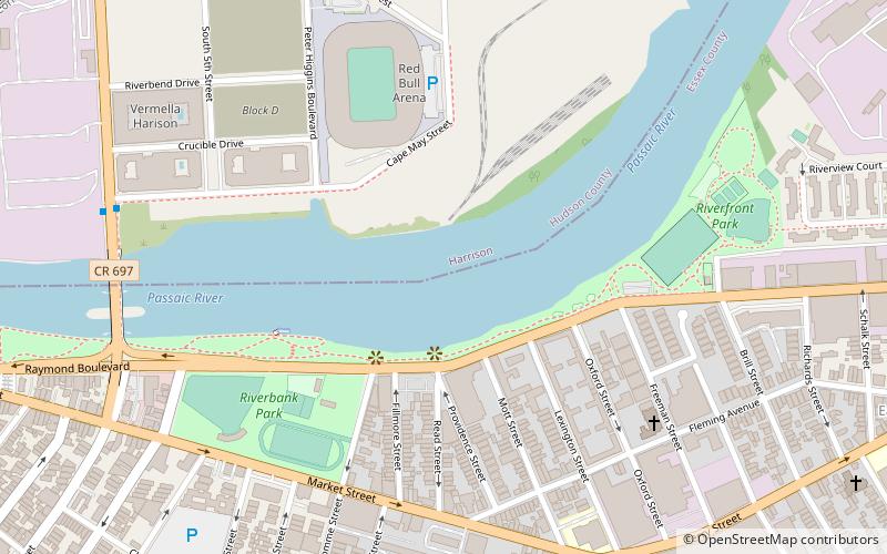
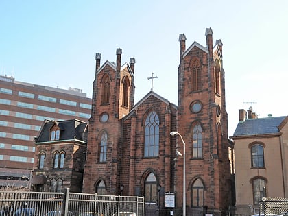
Nearby attractions include: Red Bull Arena, Prudential Center, Newark Riverfront Park, Grace Church.
Frequently Asked Questions (FAQ)
Which popular attractions are close to St. Stephan's Church?
Nearby attractions include The Ironbound, Newark (6 min walk), Jackson Street Bridge, Newark (9 min walk), Riverbank Park, Newark (9 min walk), St. Casimir's Roman Catholic Church, Newark (9 min walk).
How to get to St. Stephan's Church by public transport?
The nearest stations to St. Stephan's Church:
Bus
Metro
Train
Light rail
Bus
- Newark Penn Station • Lines: 62 (16 min walk)
- Newark Penn Bus Terminal (17 min walk)
Metro
- Newark Penn Station • Lines: Nwk–Wtc (17 min walk)
- Harrison • Lines: Nwk–Wtc (21 min walk)
Train
- Newark Penn Station (17 min walk)
Light rail
- Newark Penn Station • Lines: Nlr (17 min walk)
- NJPAC/Center Street • Lines: Nlr (25 min walk)


