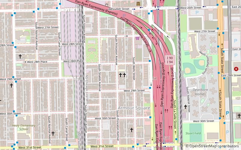
Armour Square Park, Chicago
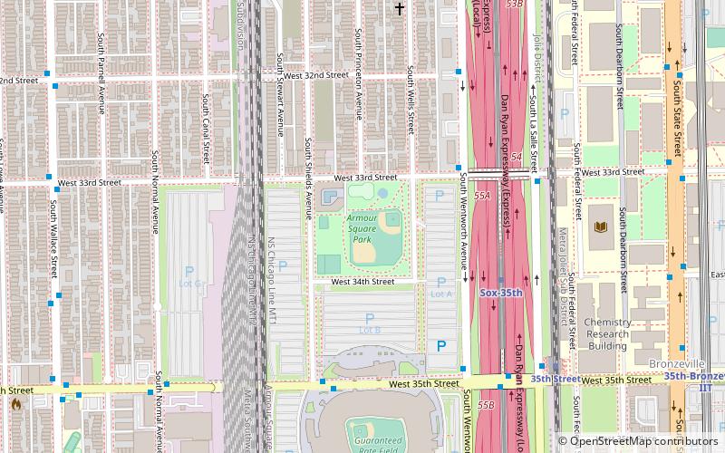
Map
Facts and practical information
Armour Square Park, also known as Armour Square or Park No. 3, is a park in Chicago, Illinois featuring Beaux Arts architecture, designed by D.H. Burnham and the Olmsted Brothers. The park was opened in March 1905, at a cost of $220,000. It was named after Philip Danforth Armour, philanthropist and captain of industry. ()
Elevation: 587 ft a.s.l.Coordinates: 41°50'1"N, 87°38'2"W
Address
3309 S Shields AveSouth Side (Armour Square)Chicago
Contact
+1 312-747-6012
Social media
Add
Getting there by public transportation
Public transportation stops near this location
- Metro
- Bus
- Train
 Metro
Metro
- Calculate routeWentworth & 33rd Street 4 min walk
- Calculate route35th Street & Shields 6 min walk
- Calculate routeWentworth & 35th Street 6 min walk
- Calculate route3200 S Wentworth 6 min walk
- Calculate routeSox-35th 5 min walk
- Calculate route35th-Bronzeville-IIT 12 min walk
- Calculate routeIndiana 27 min walk
- Calculate routeHalsted 30 min walk
- Calculate route35th Street 8 min walk
- Calculate route27th Street 33 min walk
Maps Rail "L"
Rail "L"Day trips


Frequently Asked Questions (FAQ)
Which popular attractions are close to Armour Square Park?
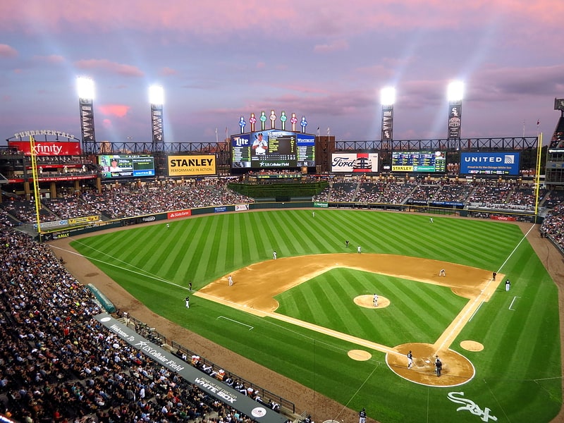
Nearby attractions include Guaranteed Rate Field, Chicago (4 min walk), Illinois Institute of Technology Academic Campus, Chicago (8 min walk), State Street Village, Chicago (11 min walk), McCormick Tribune Campus Center, Chicago (12 min walk).
How to get to Armour Square Park by public transport?
The nearest stations to Armour Square Park:
Bus
Metro
Train
Bus
- Wentworth & 33rd Street • Lines: 24, 31 (4 min walk)
- 35th Street & Shields • Lines: 35 (6 min walk)
Metro
- Sox-35th • Lines: Red (5 min walk)
- 35th-Bronzeville-IIT • Lines: Green (12 min walk)
Train
- 35th Street (8 min walk)
- 27th Street (33 min walk)