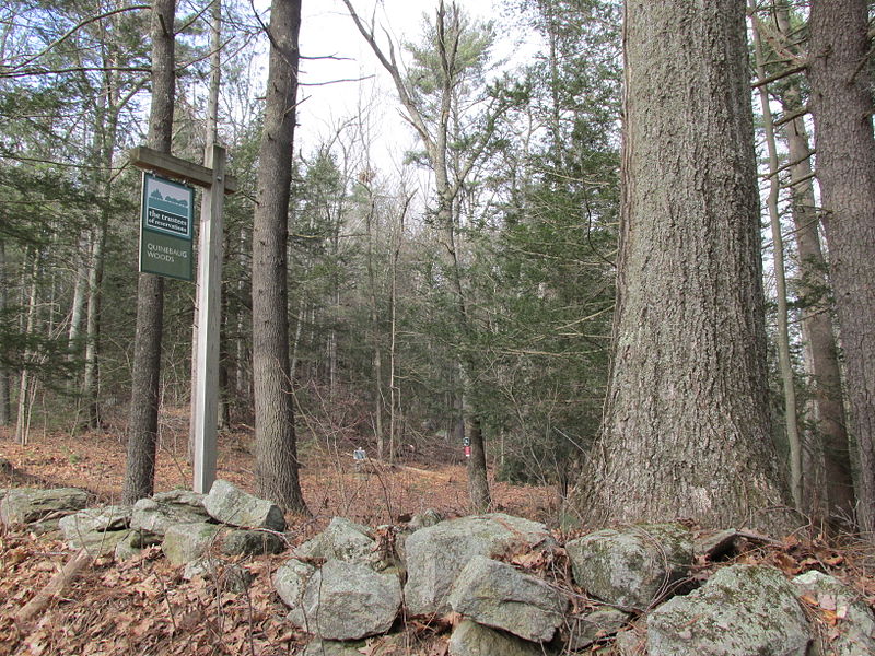
Quinebaug Woods, Holland

Gallery (2)
Map
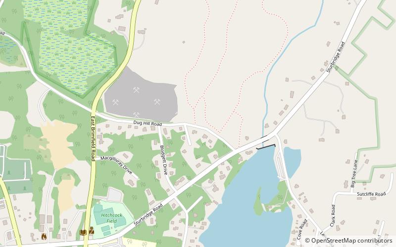
Map
Gallery
Facts and practical information
Quinebaug Woods is a 36-acre open space preserve located in Holland, Massachusetts. The property, acquired in 2001 by the land conservation non-profit organization The Trustees of Reservations, is named for the Quinebaug River, which runs through the reservation. ()
Established: 2001 (25 years ago)Coordinates: 42°4'11"N, 72°9'22"W
Day trips


