Airmen's Cave, Austin
Map

Map

Facts and practical information
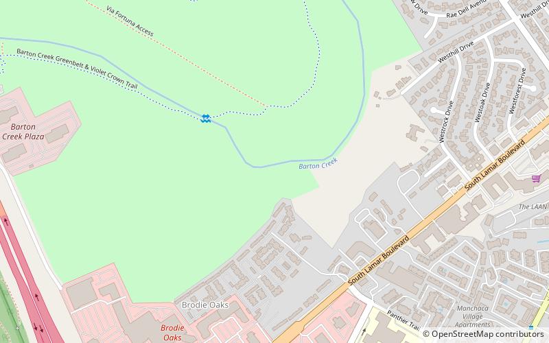
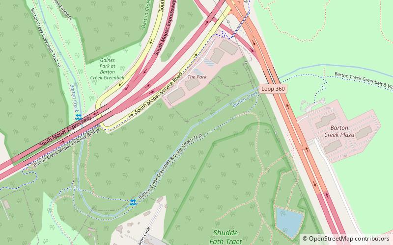
Airman's Cave is a cave located adjacent to Barton Creek in Travis County in south Austin, Texas. It is 3,444 metres long, and is characterized by long crawls and tight passages. The cave is within the Barton Creek Greenbelt public park, and is managed by the City of Austin's Parks and Recreation Department. ()
Discovered: 1971Length: 2.14 miDepth: 30 ftCoordinates: 30°14'30"N, 97°47'30"W
Address
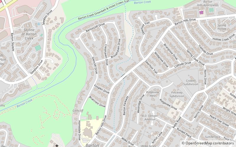
South Austin (Barton Hills)Austin
ContactAdd
Social media
Add
Day trips
Airmen's Cave – popular in the area (distance from the attraction)
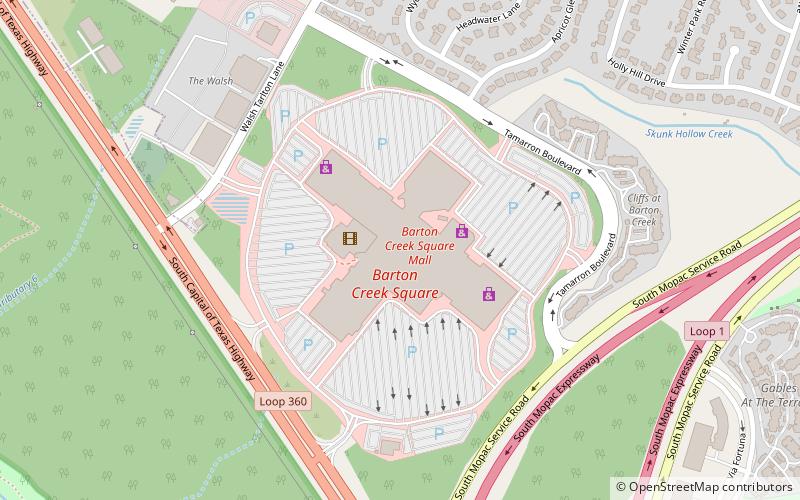
Nearby attractions include: Barton Creek Square, Barton Creek Greenbelt, Sunset Valley, ART on 5th.
Frequently Asked Questions (FAQ)
Which popular attractions are close to Airmen's Cave?
Nearby attractions include ART on 5th, Austin (12 min walk), Barton Creek Greenbelt, Austin (14 min walk), Andrew M. Cox Ranch Site, Austin (22 min walk).
How to get to Airmen's Cave by public transport?
The nearest stations to Airmen's Cave:
Bus
Bus
- 730 • Lines: 3 (15 min walk)
- 3201 Menchaca/Glen Allen, Stop ID 729 • Lines: 3 (15 min walk)


