Andrew M. Cox Ranch Site, Austin

Map
Facts and practical information
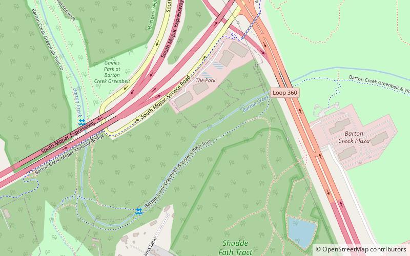
The Andrew M. Cox Ranch Site is a historic collection of ruined buildings and structures in Austin, Texas, United States. The site is located on either side of Barton Creek near the intersection of Loop 360 and the Mopac Expressway. It included a small collection of wall enclosures and wagon tracks in the native limestone. ()
Coordinates: 30°14'35"N, 97°48'21"W
Address
South Austin (Barton Hills)Austin
ContactAdd
Social media
Add
Day trips
Andrew M. Cox Ranch Site – popular in the area (distance from the attraction)
Nearby attractions include: Barton Creek Square, Barton Creek Greenbelt, Airmen's Cave, Sunset Valley.
Frequently Asked Questions (FAQ)
Which popular attractions are close to Andrew M. Cox Ranch Site?
Nearby attractions include Airmen's Cave, Austin (22 min walk), Barton Creek Greenbelt, Austin (22 min walk).
How to get to Andrew M. Cox Ranch Site by public transport?
The nearest stations to Andrew M. Cox Ranch Site:
Bus
Bus
- Westgate Transit Center (31 min walk)


