St. Louis Place Park, St. Louis
Map

Map

Facts and practical information
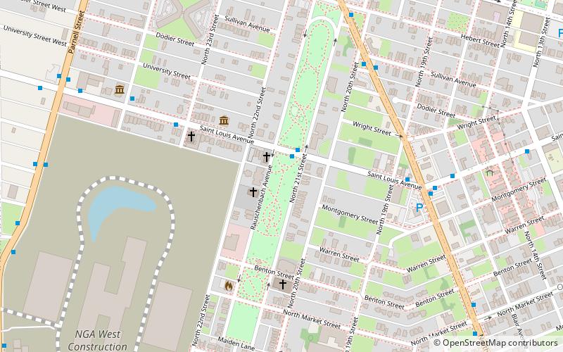
St. Louis Place Park is a long and linear municipal park, encompassing 9 and a half blocks between 21st Street and Rauschenbach Ave. ()
Created: 1850Elevation: 502 ft a.s.l.Coordinates: 38°39'3"N, 90°12'15"W
Day trips
St. Louis Place Park – popular in the area (distance from the attraction)
Nearby attractions include: City Museum, Shrine of St. Joseph, Scott Joplin House State Historic Site, St. Liborius Church and Buildings.
Frequently Asked Questions (FAQ)
Which popular attractions are close to St. Louis Place Park?
Nearby attractions include St. Louis Place, St. Louis (4 min walk), The Griot Museum of Black History, St. Louis (8 min walk), St. Liborius Church and Buildings, St. Louis (11 min walk), Clemens House-Columbia Brewery District, St. Louis (13 min walk).


