Financial District, San Francisco

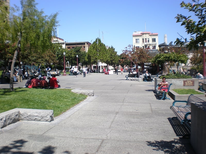
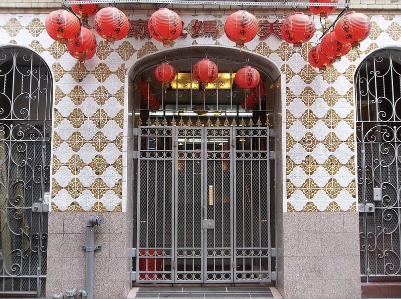
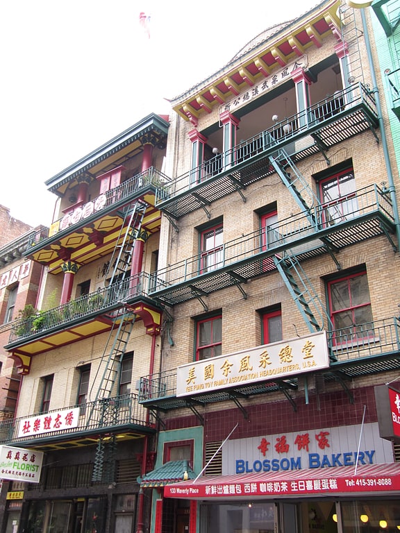
Gallery (3)
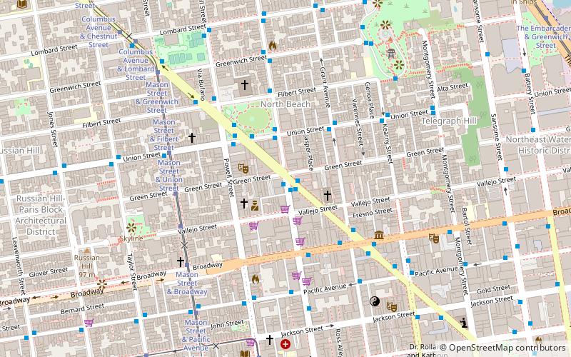
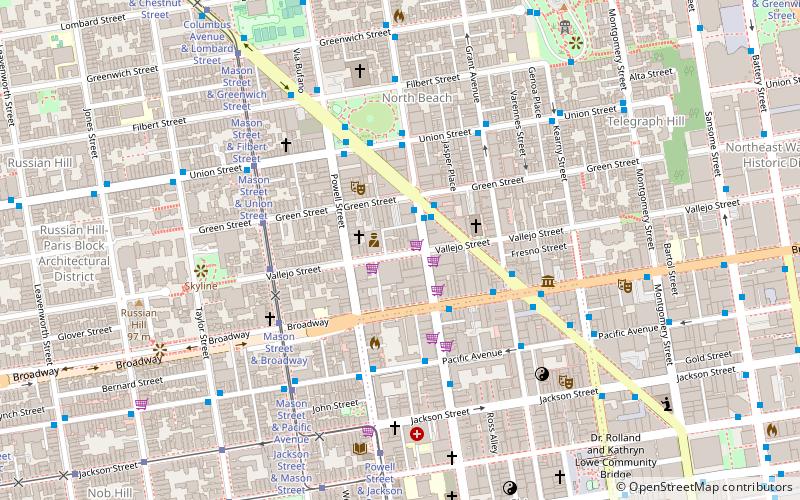
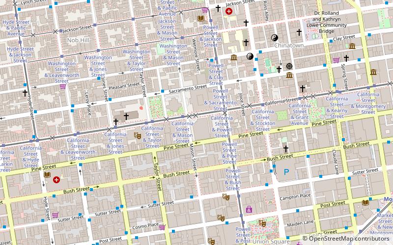
Map
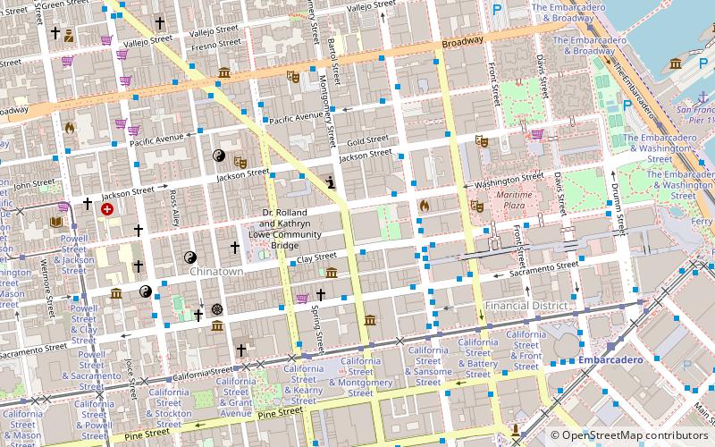
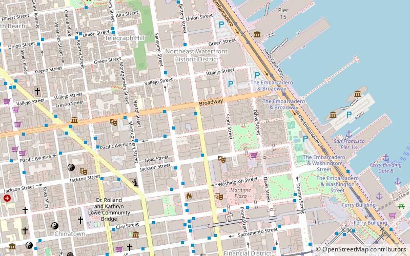
Map
Gallery
Facts and practical information
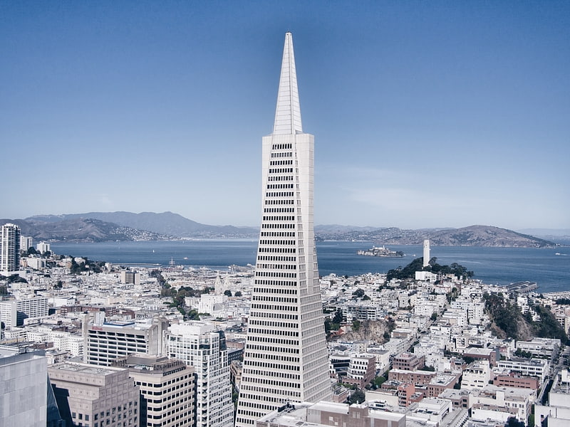
The Financial District is a neighborhood in San Francisco, California, that serves as its main central business district and has 372,829 jobs according to us census tracts as of 2012-2016. It is home to the city's largest concentration of corporate headquarters, law firms, insurance companies, real estate firms, savings and loan banks, and other financial institutions. All six San Francisco Fortune 500 companies—McKesson, Wells Fargo, Gap, Charles Schwab, Pacific Gas & Electric Company, and Salesforce.com— are located in the district. ()
Address
Northeast San Francisco (Financial District)San Francisco
ContactAdd
Social media
Add
Getting there by public transportation
Public transportation stops near this location
- Metro
- Bus
- Trolleybus
- Tram
- Light rail
- Ferry
 Metro
Metro
- Calculate routeClay Street & Montgomery Street 1 min walk
- Calculate routeSacramento Street & Montgomery Street 3 min walk
- Calculate routeSansome Street & Clay Street 3 min walk
- Calculate routeSansome Street & Washington Street 3 min walk
- Calculate routeSansome Street & Commercial Street 3 min walk
- Calculate routeCalifornia Street & Montgomery Street 5 min walk
- Calculate routeCalifornia Street & Sansome Street 5 min walk
- Calculate routeCalifornia Street & Kearny Street 5 min walk
- Calculate routeCalifornia Street & Battery Street 6 min walk
- Calculate routeEmbarcadero 10 min walk
- Calculate routeMontgomery Street 12 min walk
- Calculate routePowell Street 20 min walk
- Calculate routeFolsom 22 min walk
- Calculate routeEmbarcadero 10 min walk
- Calculate routeMontgomery Street 11 min walk
- Calculate routePowell Street 20 min walk
- Calculate routeFerry Building Gate B 14 min walk
- Calculate routePier 41 Gate 1 29 min walk
Maps Muni Metro
Muni MetroDay trips


Frequently Asked Questions (FAQ)
Which popular attractions are close to Financial District?
Nearby attractions include Transamerica Pyramid, San Francisco (1 min walk), Montgomery Street, San Francisco (2 min walk), Chinese Culture Center, San Francisco (3 min walk), Portsmouth Square, San Francisco (3 min walk).
How to get to Financial District by public transport?
The nearest stations to Financial District:
Trolleybus
Bus
Tram
Light rail
Metro
Ferry
Trolleybus
- Clay Street & Montgomery Street • Lines: 1 (1 min walk)
- Sacramento Street & Montgomery Street • Lines: 1 (3 min walk)
Bus
- Sansome Street & Clay Street • Lines: 12, 38, 38A (3 min walk)
- Sansome Street & Washington Street • Lines: 12 (3 min walk)
Tram
- California Street & Montgomery Street (5 min walk)
- California Street & Sansome Street (5 min walk)
Light rail
- Embarcadero • Lines: K, N, S, T (10 min walk)
- Montgomery Street • Lines: K, N, S, T (12 min walk)
Metro
- Embarcadero • Lines: Blue, Green, Red, Yellow (10 min walk)
- Montgomery Street • Lines: Blue, Green, Red, Yellow (11 min walk)
Ferry
- Ferry Building Gate B • Lines: San Francisco Bay Ferry (14 min walk)
- Pier 41 Gate 1 • Lines: Blue & Gold Fleet (29 min walk)