Jossie Gut Historic District, Saint John
Map
Facts and practical information
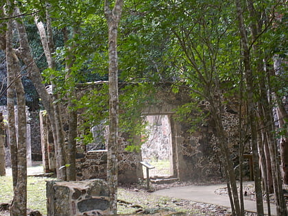
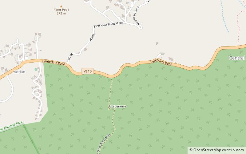
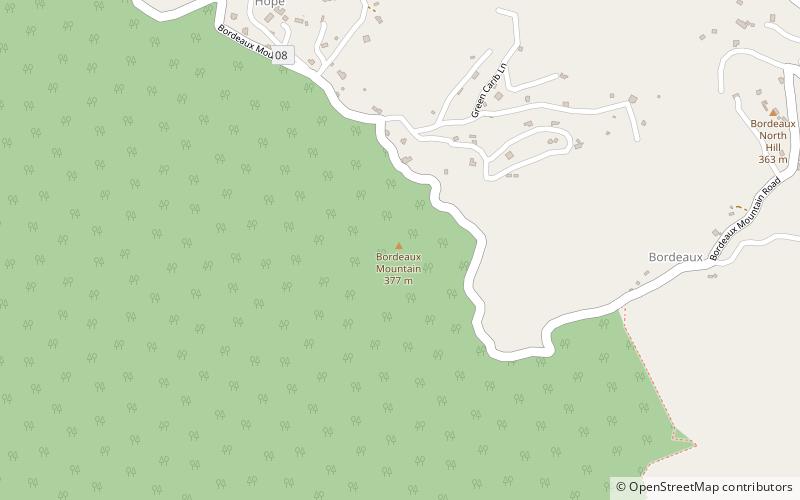
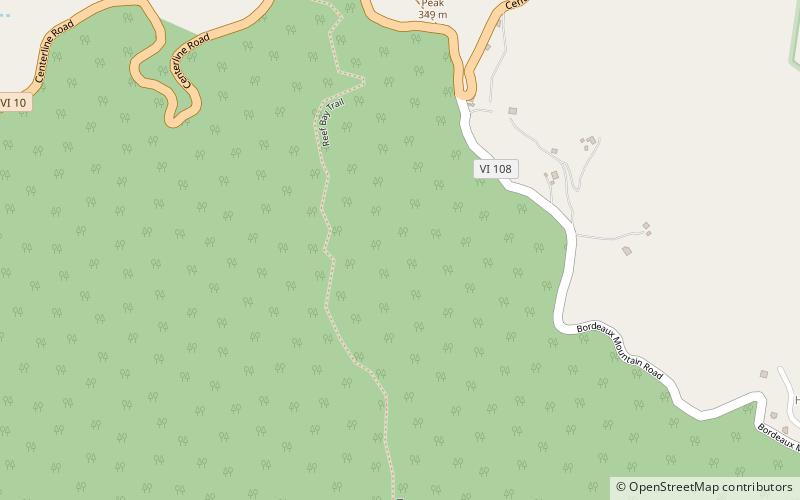
The Jossie Gut Historic District, in Reef Bay Valley / Reef Bay, Virgin Islands, was listed on the National Register of Historic Places in 1981. The listing included two contributing structures and four contributing sites. It is included in Virgin Islands National Park. It is located west of Coral Bay off Center Line Road, in the Central area of the park. It includes remains of a horsemill. ()
Area: 5 acres (0.0078 mi²)Coordinates: 18°20'32"N, 64°44'25"W
Address
Saint John
ContactAdd
Social media
Add
Day trips
Jossie Gut Historic District – popular in the area (distance from the attraction)
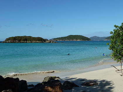
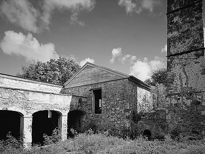
Nearby attractions include: Cinnamon Bay Plantation, Cinnamon Cay, L'Esperance Historic District, Reef Bay Sugar Factory Historic District.
