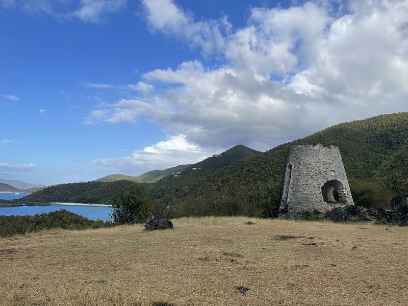
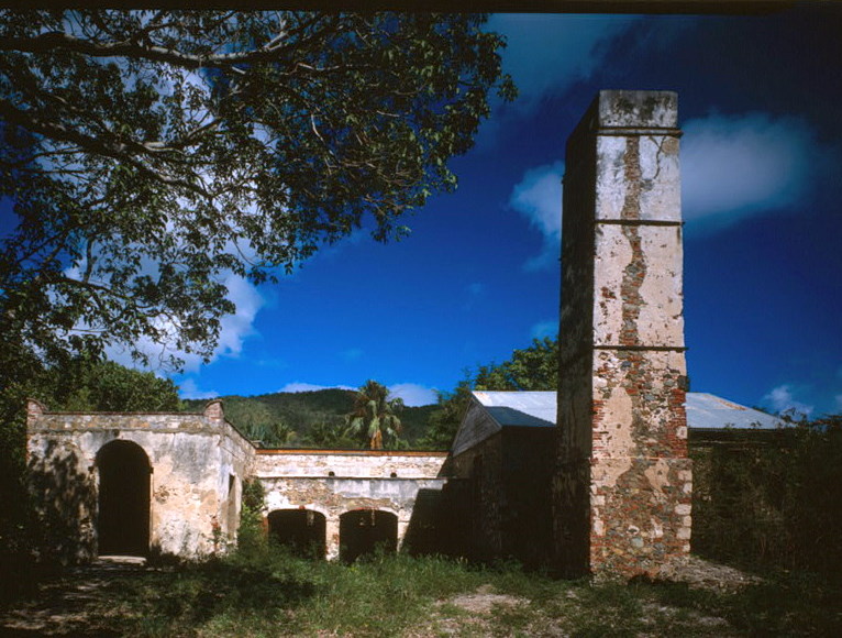
Reef Bay Sugar Factory Historic District, Saint John

Gallery (3)
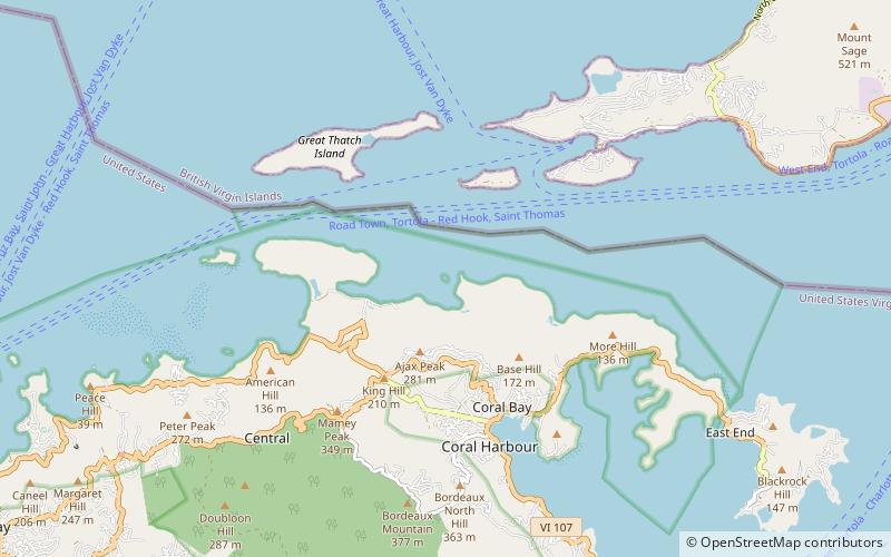
Map
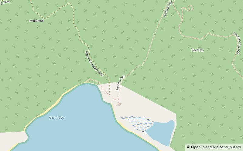
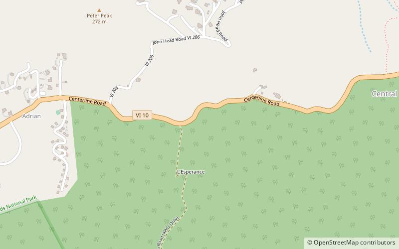
Map
Gallery
Facts and practical information
Reef Bay Sugar Factory Historic District is a historic section of Saint John, United States Virgin Islands located on the south central coast adjacent to Reef Bay. The land is the site of a sugar factory. The property was added to the U.S. National Register of Historic Places on July 23, 1981. ()
Built: 1800 (226 years ago)Coordinates: 18°19'30"N, 64°44'42"W
Address
Saint John
ContactAdd
Social media
Add
Day trips