Trunk Cay, Virgin Islands National Park
Map
Map

Facts and practical information
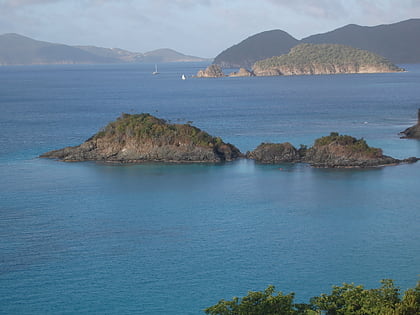
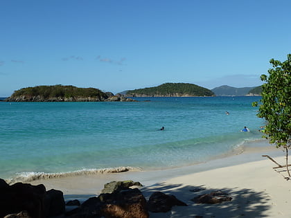
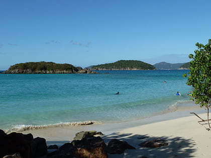
Trunk Cay is a small grass-covered islet in Trunk Bay in the United States Virgin Islands. It has an elevation of 48 feet and is situated only 200 feet from Trunk Bay Beach. It is an islet of rocky cliffs, coral sandy beaches, and palm trees. The Virgin Islands National Park Service offers underwater snorkelling trails around the cay. Trunk Cay is named for the leatherback turtle, which is found in the U.S.V.I. and is locally known as trunks. ()
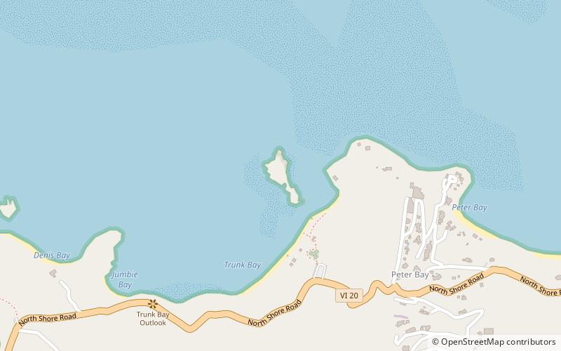
Coordinates: 18°21'18"N, 64°46'7"W
Address
Virgin Islands National Park
ContactAdd
Social media
Add
Day trips
Trunk Cay – popular in the area (distance from the attraction)
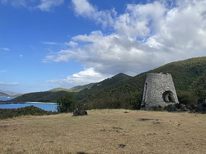
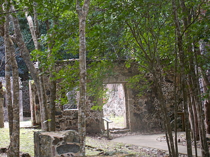
Nearby attractions include: Dennis Bay Historic District, Cinnamon Bay Plantation, Whistling Cay, Cinnamon Cay.
Frequently Asked Questions (FAQ)
Which popular attractions are close to Trunk Cay?
Nearby attractions include Dennis Bay Historic District, Saint John (13 min walk), Cinnamon Cay, Virgin Islands National Park (21 min walk), Cinnamon Bay Plantation, Saint John (23 min walk).
