Trek Zone

Dennis Bay Historic District, Saint John

#1 among attractions in Saint John

Park
Dennis Bay Historic District

Facts and practical information
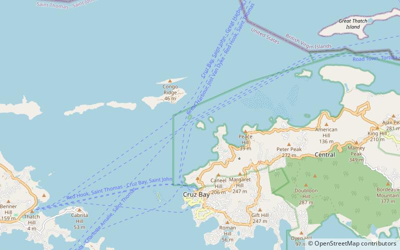
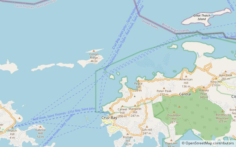
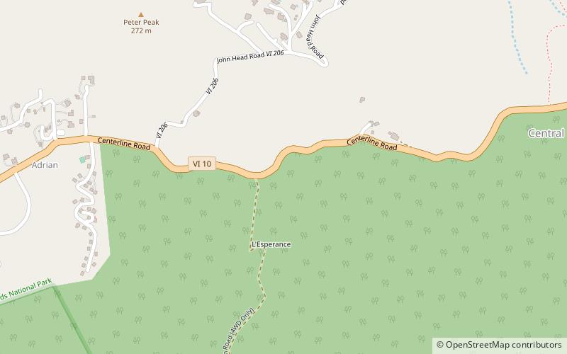
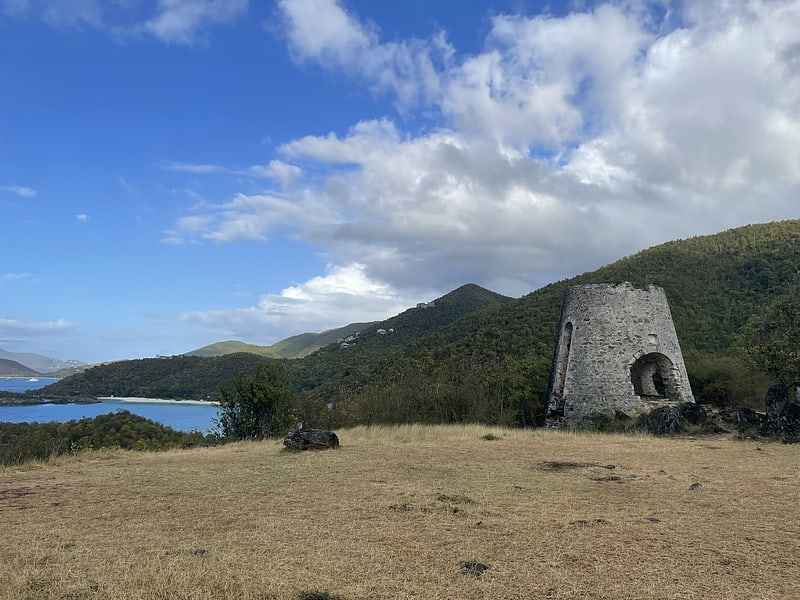
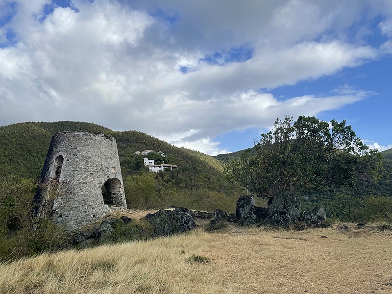
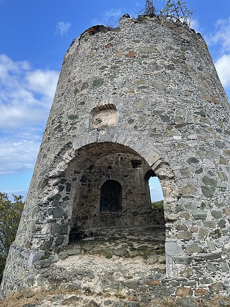
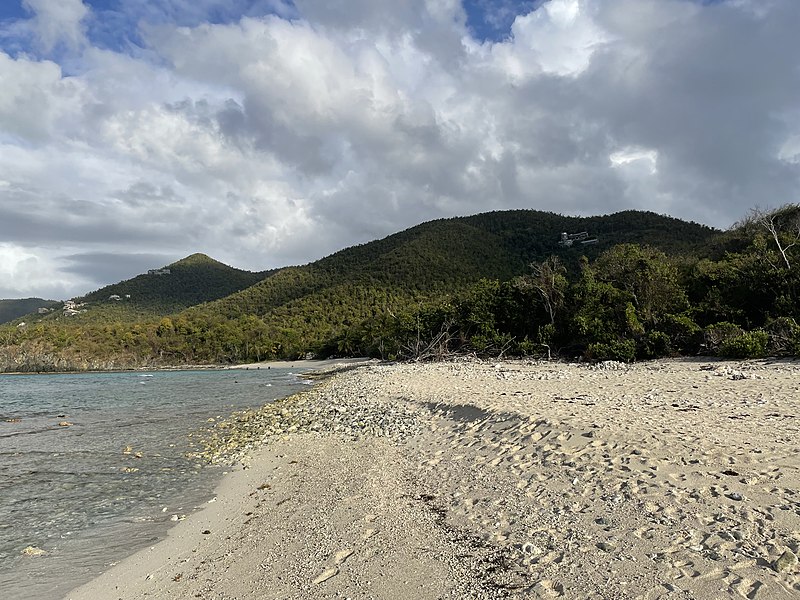
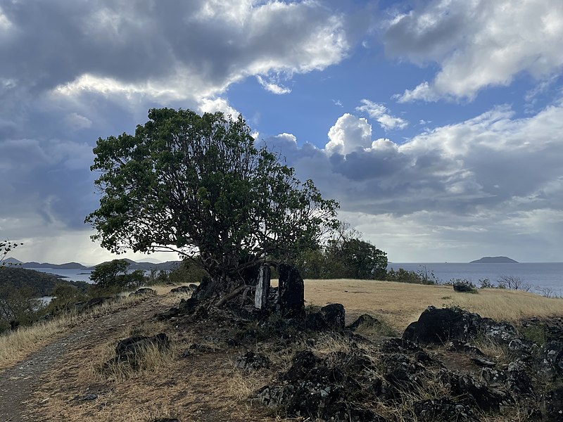
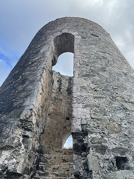
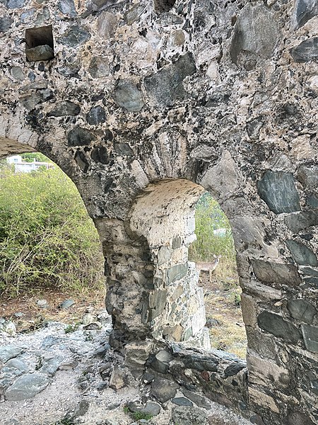
Elevation: 39 ft a.s.l.Coordinates: 18°21'9"N, 64°46'31"W
Address

Saint John US Virgin Islands

ContactAdd
Social media
Add

Saint John plan & book

Unleash the traveler in you — discover the cheapest flight deals, find the perfect hotel or hostel nearby, and search for the best car rental prices. Travel at your own pace to discover new places and enjoy your journey.

Day trips

Dennis Bay Historic District – popular in the area (distance from the attraction)

Nearby attractions include: Honeymoon Beach St John, Salomon Beach, Whistling Cay, Henley Cay.

  • honeymoon beach st john cruz bay location map
    1.3 miSW
  • salomon beach cruz bay location map
    1.5 miSW
  • whistling cay virgin islands national park1.7 miNE
  • henley cay virgin islands national park location map
    1.2 miW
  • trunk cay virgin islands national park0.5 miNE
  • peace hill saint john location map
    ~870 ftSW
  • ramgoat cay virgin islands national park location map
    0.9 miW
  • caneel hill saint john location map
    1.3 miSW
  • lesperance historic district saint john location map
    1.3 miSE

Frequently Asked Questions (FAQ)

Which popular attractions are close to Dennis Bay Historic District?

Nearby attractions include Peace Hill, Saint John (5 min walk), Trunk Cay, Virgin Islands National Park (13 min walk).

Where to next? Visit saint john Saint John region page or discover the top tourist attractions in US Virgin Islands.