Chichiriviche

Gallery (4)
Map

Map
Gallery
Facts and practical information
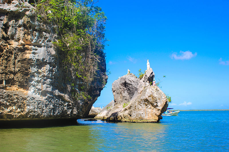
Chichiriviche is a Venezuelan city located in Falcón state located on the east coast, 195 km southeast of Coro. Capital of Municipality Monseñor Iturriza. It has a population for 2011 of 18,960 inhabitants. Chichiriviche is surrounded by the small cays and islands of fine white sand; to the west by the wetland Cuare Wildlife Refuge and to the south by Cuare Gulf. Sparks originally inhabited by Native Americans Chipas, its name is a Caribbean word meaning "place where rises our sun" ()
Location
Falcón
ContactAdd
Social media
Add
Day trips


