Playa Cayo Sombrero
#163 among destinations in Venezuela

Facts and practical information
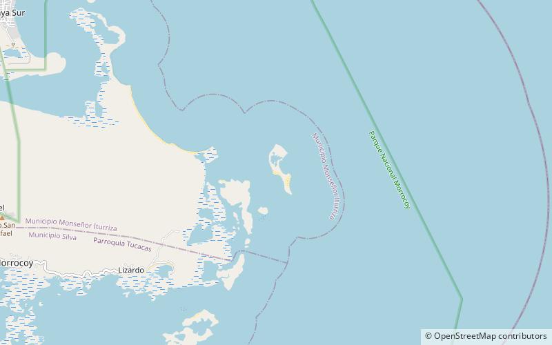
Cayo Sombrero is the name of an island in the Caribbean Sea that belongs to Morrocoy National Park and is included in the easternmost part of Monseñor Iturriza Municipality and Falcón state, in western Venezuela.
Playa Cayo Sombrero – popular in the area (distance from the attraction)
Nearby attractions include: Playa Boca Paiclás, Playa Playuelita, Playa Mero, Chichiriviche.
 Beach
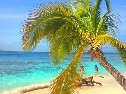
BeachPlaya Boca Paiclás, Tucacas
151 min walk • Morrocoy National Park is located in the easternmost coast of Falcón state and northwestern of Golfo Triste, in the west central Venezuelan coast, near the towns of Boca de Aroa, Tucacas, Sanare, Chichiriviche, Flamenco and Tocuyo de la Costa, and consists of 12,990 hectares.
 Beach
BeachPlaya Playuelita
102 min walk • Playuelita, or Cayo Playuelita is a beach and small island located in the South American country of Venezuela. Administratively it is part of the western state of Falcón.The name playuelita refers to the fact that it is an island and cay of smaller...
 Beach
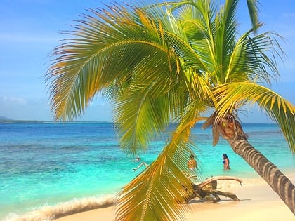
BeachPlaya Mero, Morrocoy
126 min walk • Morrocoy National Park is located in the easternmost coast of Falcón state and northwestern of Golfo Triste, in the west central Venezuelan coast, near the towns of Boca de Aroa, Tucacas, Sanare, Chichiriviche, Flamenco and Tocuyo de la Costa, and consists of 12,990 hectares.
 Locality
Chichiriviche
144 min walk • Chichiriviche is a Venezuelan city located in Falcón state located on the east coast, 195 km southeast of Coro. Capital of Municipality Monseñor Iturriza. It has a population for 2011 of 18,960 inhabitants.
 Beach
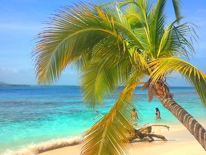
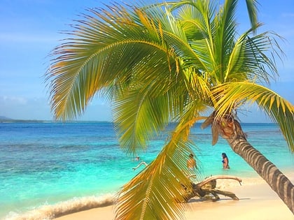
BeachPlaya Cayo Boca Seca, Morrocoy
94 min walk • Morrocoy National Park is located in the easternmost coast of Falcón state and northwestern of Golfo Triste, in the west central Venezuelan coast, near the towns of Boca de Aroa, Tucacas, Sanare, Chichiriviche, Flamenco and Tocuyo de la Costa, and consists of 12,990 hectares.
 Beach
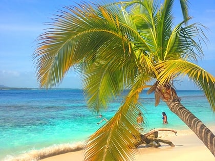
BeachPlaya Caimán, Morrocoy
68 min walk • Morrocoy National Park is located in the easternmost coast of Falcón state and northwestern of Golfo Triste, in the west central Venezuelan coast, near the towns of Boca de Aroa, Tucacas, Sanare, Chichiriviche, Flamenco and Tocuyo de la Costa, and consists of 12,990 hectares.
 Beach
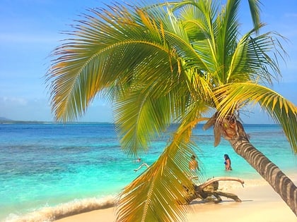
BeachPlaya Mayorquina, Morrocoy
53 min walk • Morrocoy National Park is located in the easternmost coast of Falcón state and northwestern of Golfo Triste, in the west central Venezuelan coast, near the towns of Boca de Aroa, Tucacas, Sanare, Chichiriviche, Flamenco and Tocuyo de la Costa, and consists of 12,990 hectares.
 Beach
BeachPlaya Varadero, Morrocoy
81 min walk • Morrocoy National Park is located in the easternmost coast of Falcón state and northwestern of Golfo Triste, in the west central Venezuelan coast, near the towns of Boca de Aroa, Tucacas, Sanare, Chichiriviche, Flamenco and Tocuyo de la Costa, and consists of 12,990 hectares.
 Beach
BeachPlaya Playuela
110 min walk • Morrocoy National Park is located in the easternmost coast of Falcón state and northwestern of Golfo Triste, in the west central Venezuelan coast, near the towns of Boca de Aroa, Tucacas, Sanare, Chichiriviche, Flamenco and Tocuyo de la Costa, and consists of 12,990 hectares.
 Beach
BeachPlaya Cayo Sal
147 min walk • Cayo Sal is an island in the southeastern Caribbean Sea south of Cayo Borracho and north of Cayo Muerto and Cayo Peraza. Administratively it is part of the Monseñor Iturriza Municipality of Falcón state in western Venezuela, and is also a protected...
 Beach
BeachPlaya Azul
71 min walk • Morrocoy National Park is located in the easternmost coast of Falcón state and northwestern of Golfo Triste, in the west central Venezuelan coast, near the towns of Boca de Aroa, Tucacas, Sanare, Chichiriviche, Flamenco and Tocuyo de la Costa, and consists of 12,990 hectares.
