Bình Triệu Bridge, Ho Chi Minh City
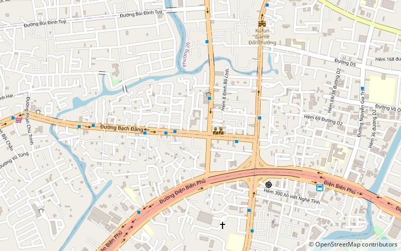
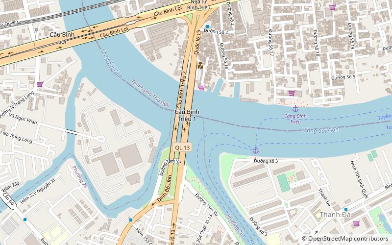
Map
Gallery
Facts and practical information
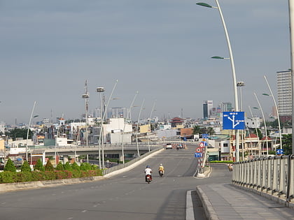
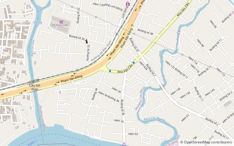
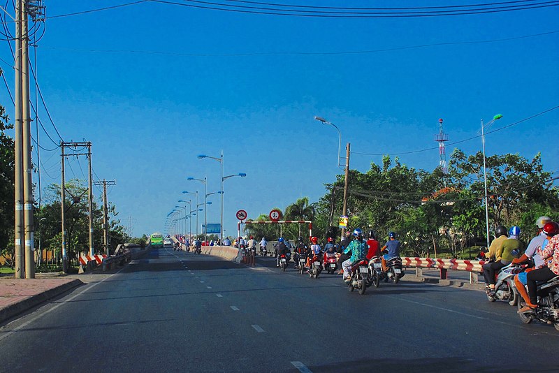
The Bình Triệu Bridge is a road bridge that crosses the Saigon River in Ho Chi Minh City. The road on the bridge heads out to Thủ Dầu Một. ()
Local name: Cầu Bình TriệuCoordinates: 10°49'15"N, 106°42'50"E
Day trips
Bình Triệu Bridge – popular in the area (distance from the attraction)
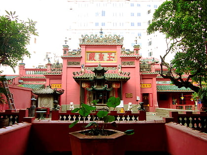
Nearby attractions include: Saigon Zoo and Botanical Gardens, Tomb of Lê Văn Duyệt, Jade Emperor Pagoda, Cầu Thủ Thiêm.
Frequently Asked Questions (FAQ)
How to get to Bình Triệu Bridge by public transport?
The nearest stations to Bình Triệu Bridge:
Ferry
Bus
Train
Ferry
- Bến Thanh Đa • Lines: 1 (5 min walk)
- Bến Hiệp Bình Chánh • Lines: 1 (32 min walk)
Bus
- Bến xe Miền Đông • Lines: 5 (13 min walk)
- Bến Xe Miền Đông (12 min walk)
Train
- Bình Triệu (13 min walk)


