Saigon Bridge, Ho Chi Minh City
Facts and practical information
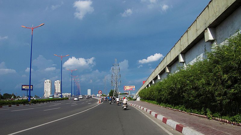
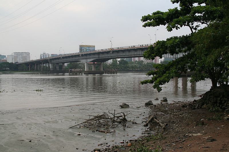
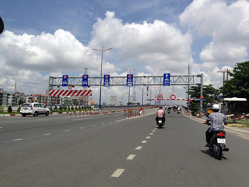
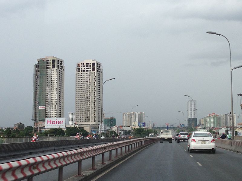
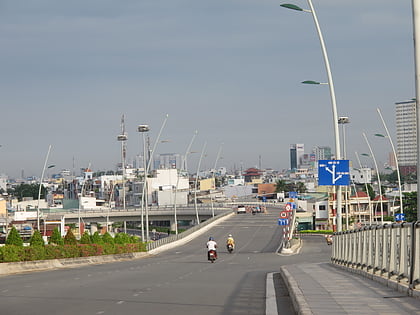
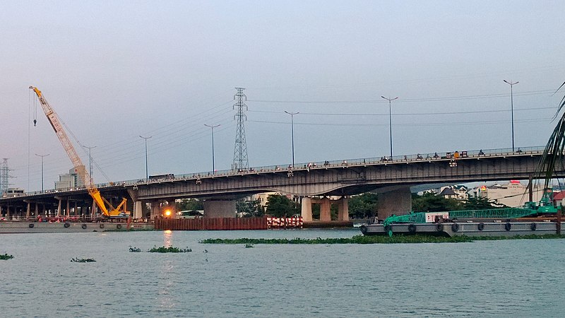
Saigon Bridge, known as Newport Bridge before 1975, is a bridge crossing the Saigon River, connecting Bình Thạnh District and District 2, Ho Chi Minh City, on the Hanoi Highway. The bridge has four lanes for cars and two lanes for motorcycles and bicycles. It was the only bridge linking District 1 to the new Thu Thiem New Urban Area in District 2 until the Thủ Thiêm Bridge opened in 2008 and the Saigon River Tunnel opened in 2011. The bridge was one of the most vital gateways for vehicles traveling from northern and central Vietnam to the city, and therefore was a key point of contention during the Tet Offensive in 1968 and the Fall of Saigon in 1975. In 2013, a new parallel bridge, Saigon 2 Bridge, was opened to ease congestion on the bridge. ()
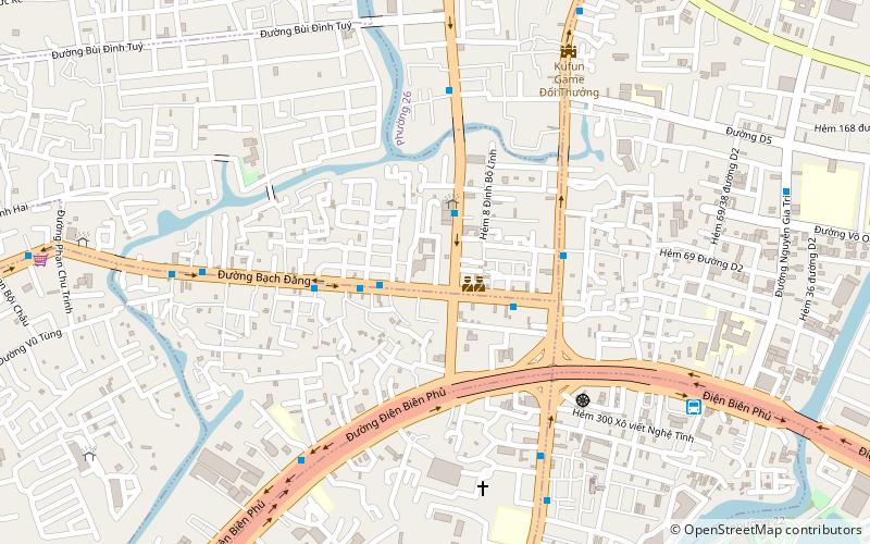
257 Xã ĐànQuận Bình Thạnh (Phường 22)Ho Chi Minh City
Saigon Bridge – popular in the area (distance from the attraction)
Nearby attractions include: Cầu Thủ Thiêm, Bình Thạnh District, Him Lam Driving Range, Làn Sóng Xanh.
Frequently Asked Questions (FAQ)
How to get to Saigon Bridge by public transport?
Ferry
- Bến Bình An • Lines: 1 (4 min walk)
Train
- Van Thanh Park (21 min walk)
- Ba Son (35 min walk)
Bus
- Trường THPT Gia Định • Lines: 5 (28 min walk)
- Ngã ba Hàng Xanh • Lines: 5 (29 min walk)


