Bình Thạnh District, Ho Chi Minh City
Map
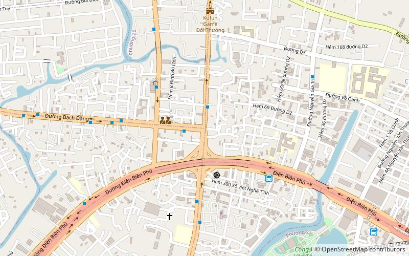
Map

Facts and practical information
Bình Thạnh is a district of Ho Chi Minh City in Vietnam. As of 2017, the district had a population of 490,618 and a total area of 21 km2. ()
Address
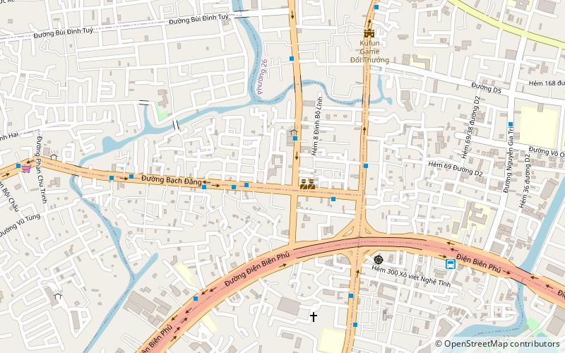
Quận Bình Thạnh (Phường 25)Ho Chi Minh City
ContactAdd
Social media
Add
Day trips
Bình Thạnh District – popular in the area (distance from the attraction)
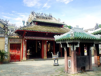
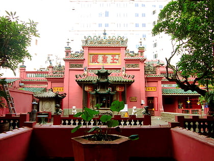
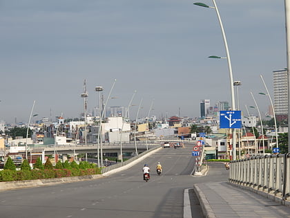
Nearby attractions include: Saigon Zoo and Botanical Gardens, Tomb of Lê Văn Duyệt, Jade Emperor Pagoda, Cầu Thủ Thiêm.
Frequently Asked Questions (FAQ)
Which popular attractions are close to Bình Thạnh District?
Nearby attractions include Làn Sóng Xanh, Ho Chi Minh City (5 min walk), Long Vân, Ho Chi Minh City (11 min walk), Đại học Tôn Đức Thắng, Ho Chi Minh City (19 min walk), Landmark 81, Ho Chi Minh City (24 min walk).
How to get to Bình Thạnh District by public transport?
The nearest stations to Bình Thạnh District:
Bus
Train
Ferry
Bus
- Chợ Hàng Xanh • Lines: 5 (2 min walk)
- Ngã ba Hàng Xanh • Lines: 5 (2 min walk)
Train
- Van Thanh Park (14 min walk)
- Ba Son (30 min walk)
Ferry
- Bến Thanh Đa • Lines: 1 (31 min walk)
- Bến Bình An • Lines: 1 (31 min walk)


