Bouzaréah District, Algiers
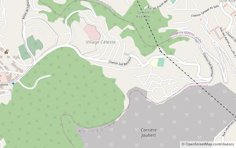
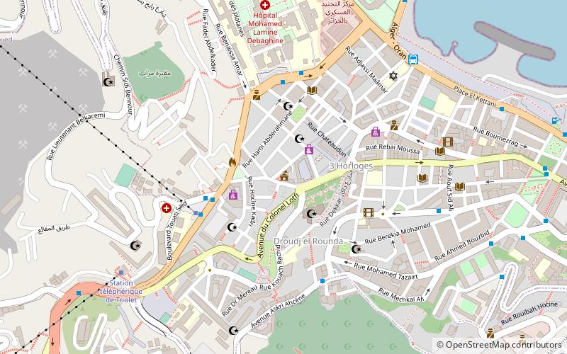
Map
Facts and practical information
Bouzaréah is a district in Algiers Province, Algeria. It was named after its capital, Bouzaréah. ()
Address
ببوزريعة دائرة (ببوزريعة)Algiers
ContactAdd
Social media
Add
Getting there by public transportation
Public transportation stops near this location
- Bus
 Bus
Bus
- Calculate routeSeminaire 14 min walk
- Calculate routeBasilique كاتدرائية 15 min walk
- Calculate routeTriolet 18 min walk
- Calculate routeBus station: beau-fraisier, Chevalley, bouzareah 18 min walk
Day trips


Frequently Asked Questions (FAQ)
Which popular attractions are close to Bouzaréah District?
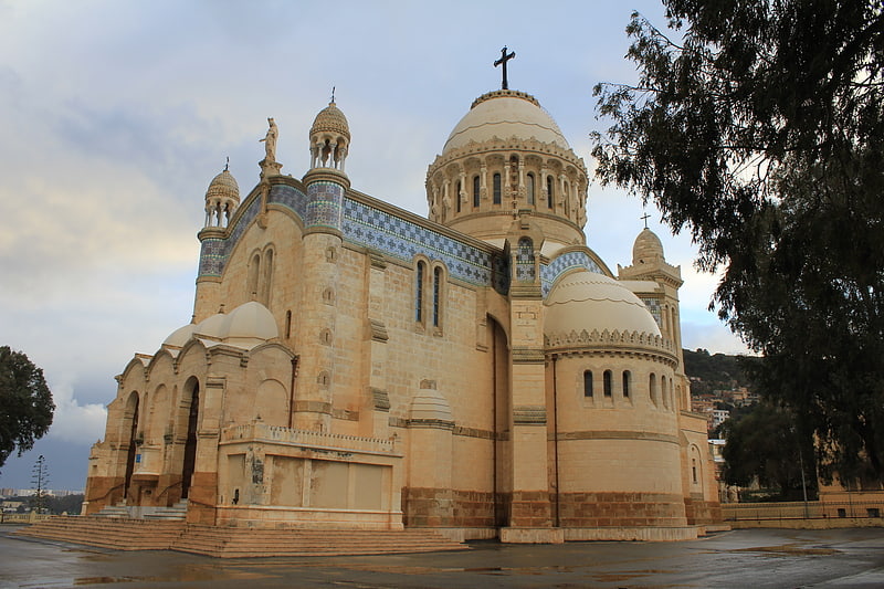
Nearby attractions include Center of Research in Astronomy, Algiers (7 min walk), Notre Dame d'Afrique, Algiers (16 min walk), St. Eugene Cemetery, Algiers (18 min walk), Bab El Oued, Algiers (22 min walk).
How to get to Bouzaréah District by public transport?
The nearest stations to Bouzaréah District:
Bus
Bus
- Seminaire • Lines: 38 (14 min walk)
- Basilique كاتدرائية • Lines: 38 (15 min walk)